Phoenix Drone Pros
Blog
Commercial property drone video helps brokers, owners, and developers market assets clearly, attract buyers, and show scale with compliant flights.
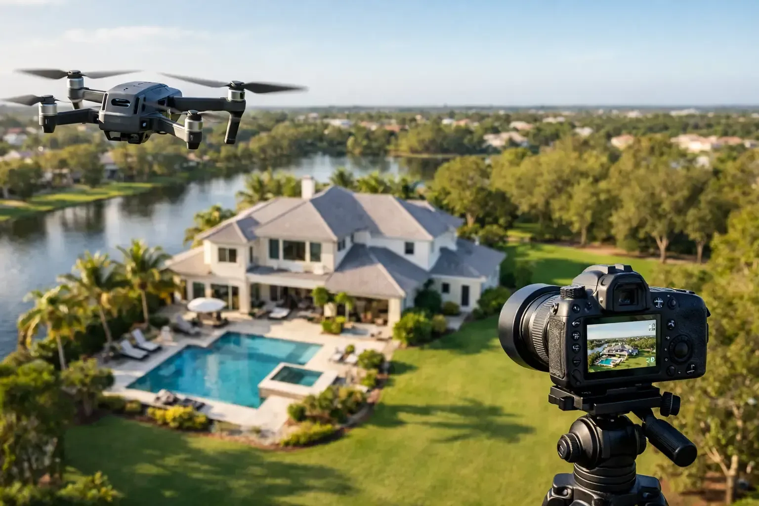
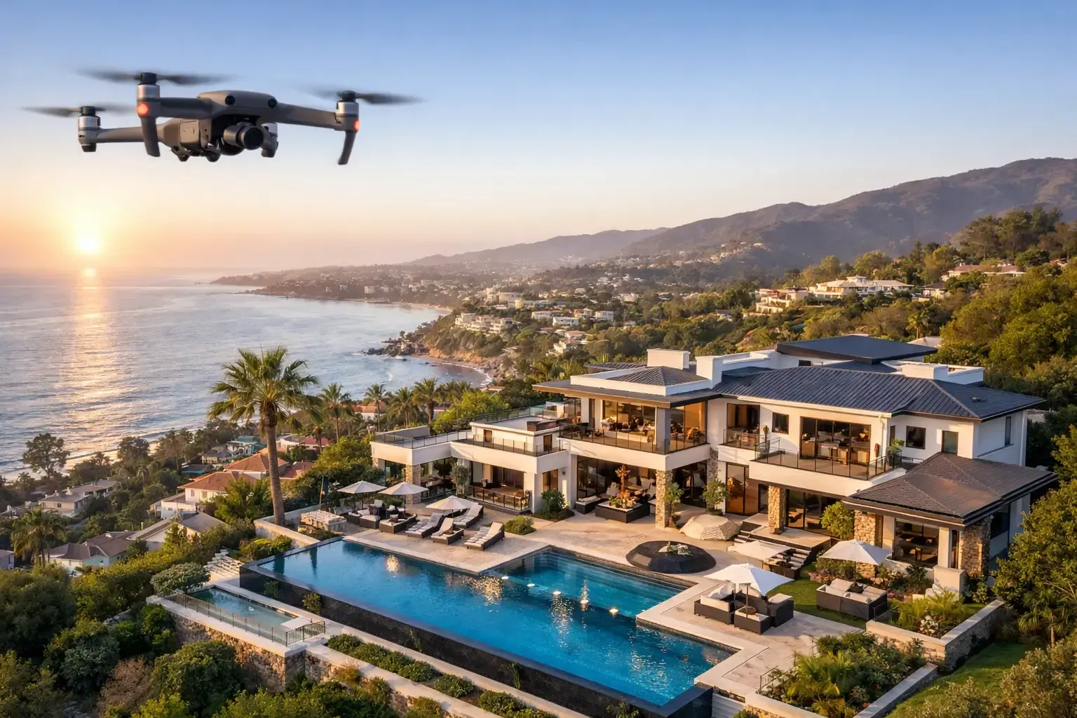
A retail center can look ordinary from the parking lot and impressive from 200 feet up. That difference matters when you are trying to lease space, attract investors, or explain a site’s value to buyers who are comparing multiple properties at once. A strong commercial property drone video gives decision-makers what ground-level media often misses - scale, access, traffic flow, nearby anchors, and the full relationship between the building and its surroundings.
For commercial real estate, the question is not whether aerial video looks good. It usually does. The real question is whether it helps move a deal forward. When the video is planned correctly, the answer is yes. It can make a listing easier to understand, reduce back-and-forth with prospects, and present the property in a way that feels credible rather than overproduced.
What a commercial property drone video should actually do
A commercial property drone video is not just a cinematic flyover with music. For brokers, developers, and property owners, it is a sales and communication tool. It should help a viewer understand the site quickly and remember it later.
That means the footage needs to show more than a roofline and a dramatic reveal. A useful video gives context. It shows access points, ingress and egress, parking ratios, visibility from major roads, neighboring businesses, site layout, and the surrounding trade area. For industrial properties, it may need to highlight truck circulation, loading positions, yard space, and proximity to transportation routes. For office and retail, it often needs to show frontage, signage exposure, and the property’s relationship to surrounding demand drivers.
The best videos are built around the asset class and the audience.
An investor reviewing a multi-tenant property wants different visual proof than a tenant looking for end-cap retail space. A developer marketing land needs to show parcel boundaries, nearby growth, and road access, while a property manager may need aerial footage to support leasing packages or internal reporting. The job of the drone operator is not just to fly. It is to understand what the video needs to communicate.
Why drone video works so well for commercial property
Commercial real estate is often hard to grasp through still photos alone. Even high-quality ground photography can flatten a site and hide the things that make a property viable. Drone video solves that by restoring spatial context.
That is especially valuable in the Southwest, where large parcels, wide setbacks, arterial roads, and surrounding development patterns can make or break a property’s appeal. A viewer can see whether a shopping center has strong street presence, whether an industrial site has room for maneuvering, or whether a parcel is truly close to nearby infrastructure instead of just described that way in marketing copy.
There is also a practical trust factor. Buyers and tenants are cautious. They know edited marketing materials can exaggerate. A professionally produced aerial video, especially one that uses clean, intentional flight paths and accurate site coverage, tends to feel more transparent. It shows the asset in full rather than hiding behind selective angles.
That said, drone video is not a cure-all. If the property has deferred maintenance, poor access, or weak surrounding fundamentals, aerial footage can expose those issues just as clearly as it highlights strengths. That is not always a bad thing. In many cases, honest media helps qualify leads and saves time by giving prospects a realistic view before they schedule a tour.
What separates effective footage from generic footage
Plenty of drone videos look polished but say very little. They open with a high reveal, circle the building a few times, and end without answering the questions a serious buyer or tenant actually has.
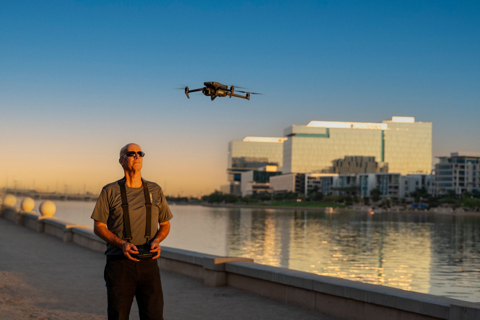
Effective commercial property drone video starts with a shot plan. The operator should know what matters before the first battery goes in the aircraft. That includes the property type, the intended use of the footage, the best time of day for sun angle and traffic visibility, and any details that need to be featured such as monument signage, loading areas, common spaces, or nearby freeway access.
Flight execution matters too. Smooth motion is only part of the equation.
The operator also needs to understand composition, speed, altitude selection, and legal operating limits. Flying lower can help emphasize entry sequences and property condition. Flying higher can show surrounding retailers, neighboring developments, and broader site context. Good work usually combines both.
Editing is where the message either sharpens or falls apart. Shorter is often better. Most commercial viewers do not need a two-minute cinematic piece unless the property is unusually complex or high profile. In many cases, a concise edit that clearly shows the asset and its context performs better because it respects the viewer’s time.
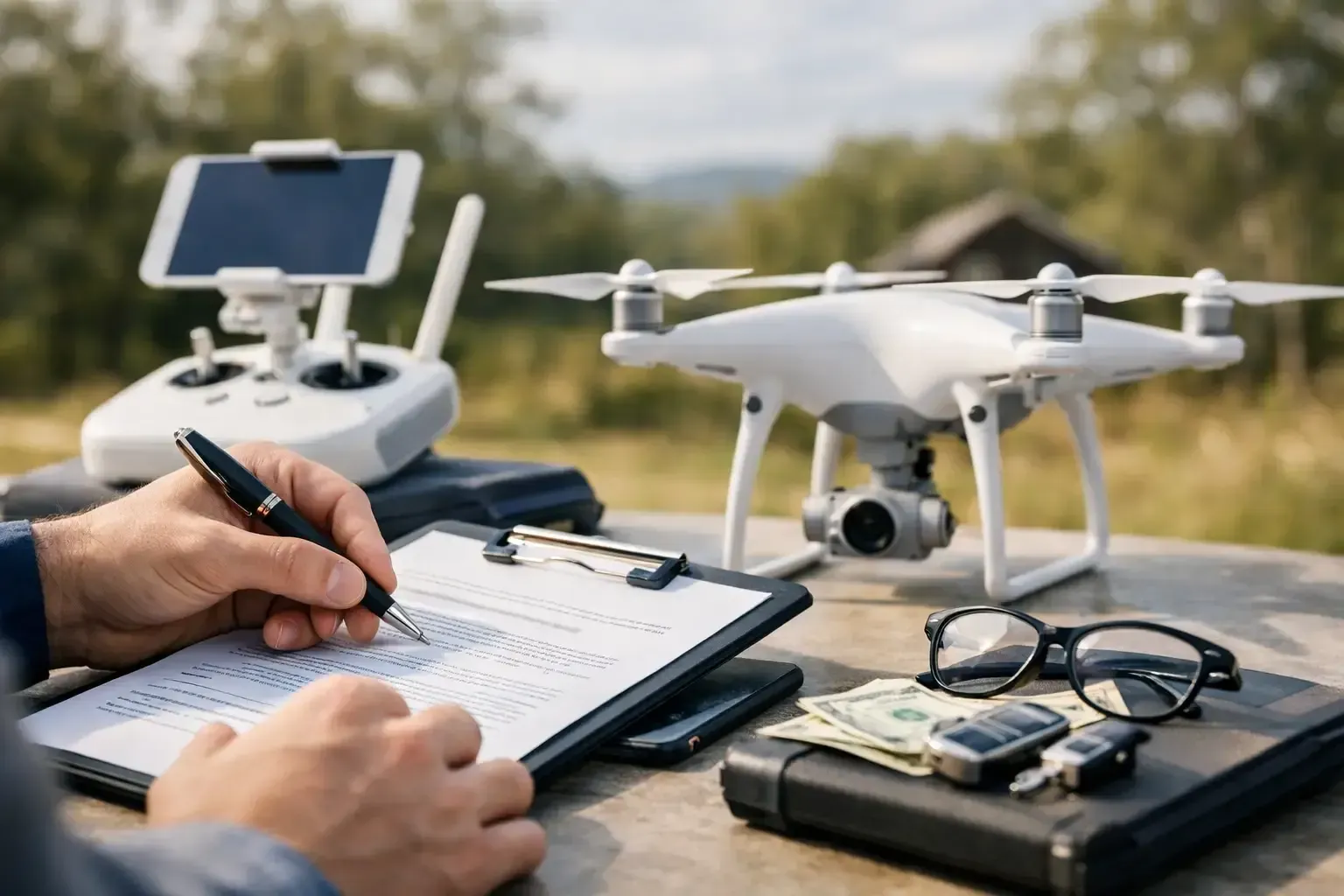
Compliance is not optional
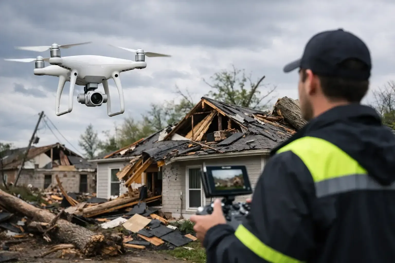
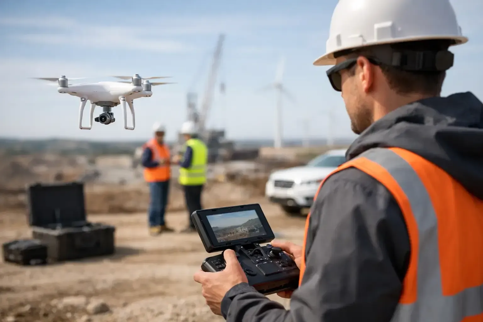
This is where many property teams get burned. A drone video may look simple to produce, but commercial flight operations are regulated, and not every property sits in easy airspace. Near airports, heliports, hospitals, and controlled zones, the operator may need airspace authorization and tighter planning.
For commercial work, FAA certification matters. Insurance matters. Experience in active job sites and dense urban corridors matters. A casual operator with a good camera is not the same as an insured professional who understands flight restrictions, safety procedures, and how to work around people, vehicles, and site operations without creating risk.
This is especially relevant for busy metro areas like Phoenix, where airspace complexity can change from one neighborhood to the next. A dependable provider should be able to assess the site, identify any restrictions, and explain what is possible before shoot day. Phoenix Drone Pros built its reputation on that kind of operational reliability, which is often the difference between a smooth project and a delayed one.
Where commercial property drone video delivers the most value
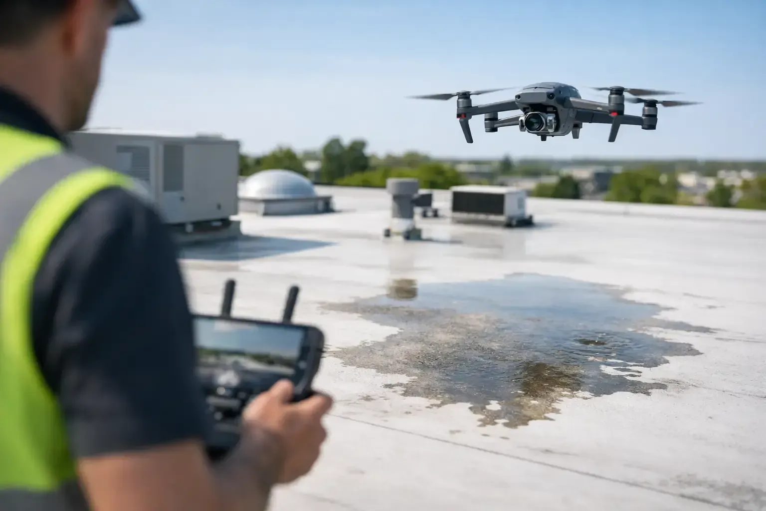
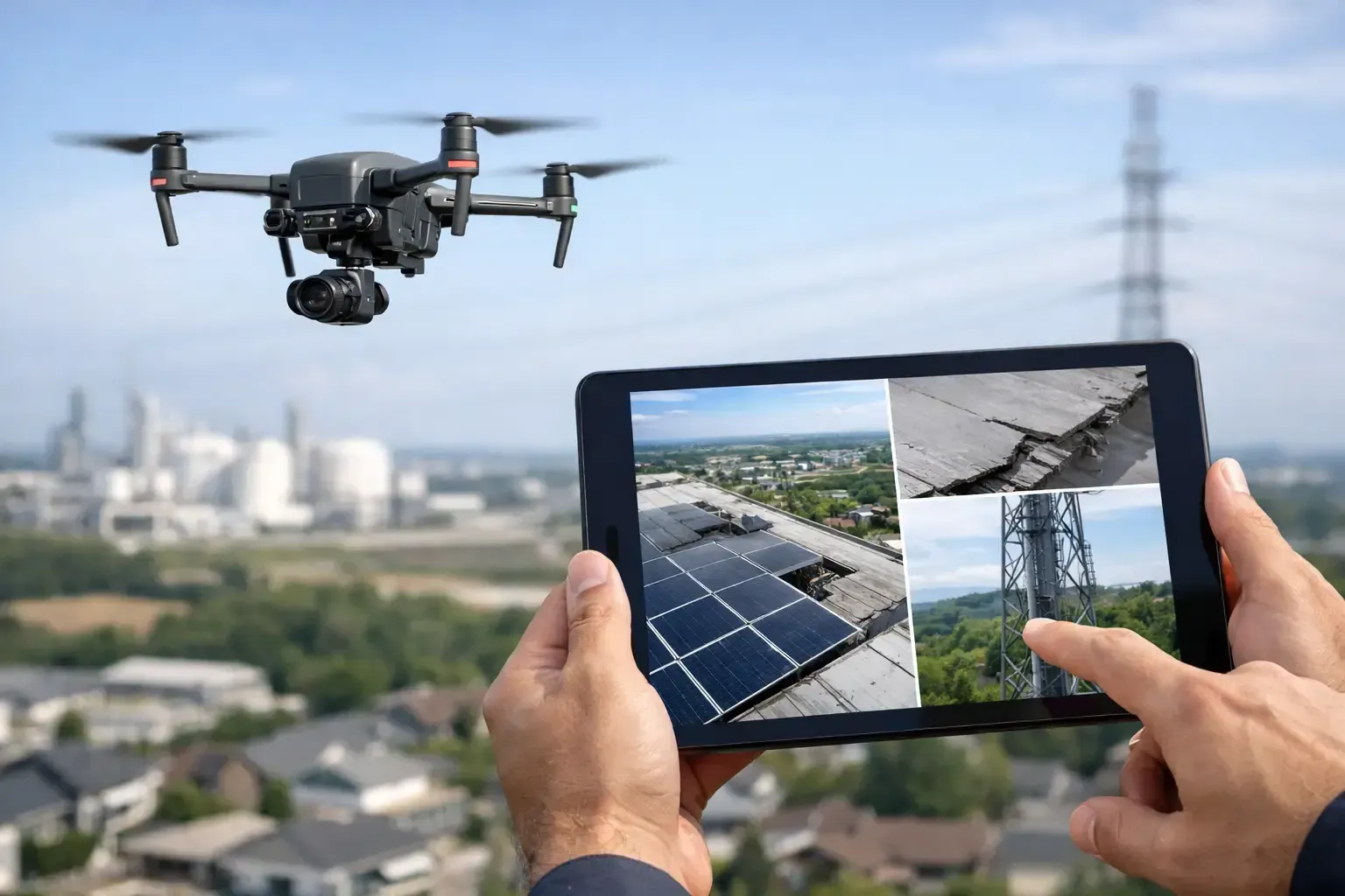
Leasing and sales marketing is the obvious use case, but it is not the only one. Developers use drone video to support investor presentations and pre-leasing efforts. Construction teams use it to document progress and communicate site changes to stakeholders. Property managers use updated aerials to show improvements, support planning, and maintain current marketing materials across multiple assets.
It also works well for properties that are difficult to understand from the street. Business parks, industrial sites, mixed-use developments, self-storage facilities, large multifamily communities, and land tracts all benefit from an aerial perspective. When a site’s value depends on layout, adjacency, circulation, or scale, drone video usually earns its keep.
The trade-off is that not every property needs the same level of production. A single-tenant building in a straightforward location may only need a short aerial clip package. A flagship mixed-use development may justify a more complete edit with multiple flight segments and broader area context. Matching the scope to the business goal keeps the media efficient and credible.
How to plan a better commercial property drone video
The strongest projects usually start with a few simple questions. Who is the audience? What do they need to understand in the first 30 seconds? What about the site is hardest to communicate with standard photos?
From there, timing becomes important. Lighting affects building appearance, window reflections, and how landscaping reads on camera. Traffic patterns can either help the story or clutter it. For occupied properties, shoot timing may need to avoid tenant disruption while still showing the site in active use.
It also helps to think beyond the hero shot. If the final video needs to support a brochure, listing page, investor deck, and social clips, capture should be planned with those deliverables in mind. The same flight session can often produce multiple useful assets when the scope is defined early.
One more point that gets overlooked: site readiness. If striping is faded, landscaping is behind, or equipment is staged in key areas, aerial footage will show it. A quick pre-shoot walkthrough can prevent small issues from becoming permanent parts of the marketing package.
Choosing the right drone provider
For commercial property work, the right provider is usually the one who asks practical questions, not just creative ones. They should want to know the asset type, the decision-maker, the intended distribution, the timeline, and any operational constraints on site.
You should also expect clear answers on FAA compliance, insurance coverage, turnaround times, and experience with commercial real estate or active construction environments. If a provider cannot explain how they handle restricted airspace, safety planning, or client-specific shot objectives, that is a warning sign.
A polished reel is helpful, but it is not enough by itself. What you want is a team that can produce sharp visuals while operating like a dependable field partner. In commercial projects, responsiveness and execution are every bit as important as camera quality.
A good commercial property drone video does not try to make every property look glamorous. It makes the property understandable, marketable, and easier to evaluate. That is what helps brokers lease faster, helps owners present assets with confidence, and helps serious buyers focus on the opportunities that are actually there.