Phoenix Drone Pros
Blog
Drone real estate photography helps listings stand out with better angles, stronger context, and FAA-compliant results that support faster sales.
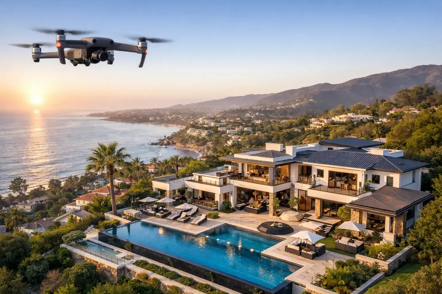
A ground-level photo can make a property look smaller, tighter, and less connected to its surroundings than it really is. That is why drone real estate photography has become a practical marketing tool for agents, brokers, developers, and property owners who need buyers to understand the full value of a site before they ever schedule a showing.
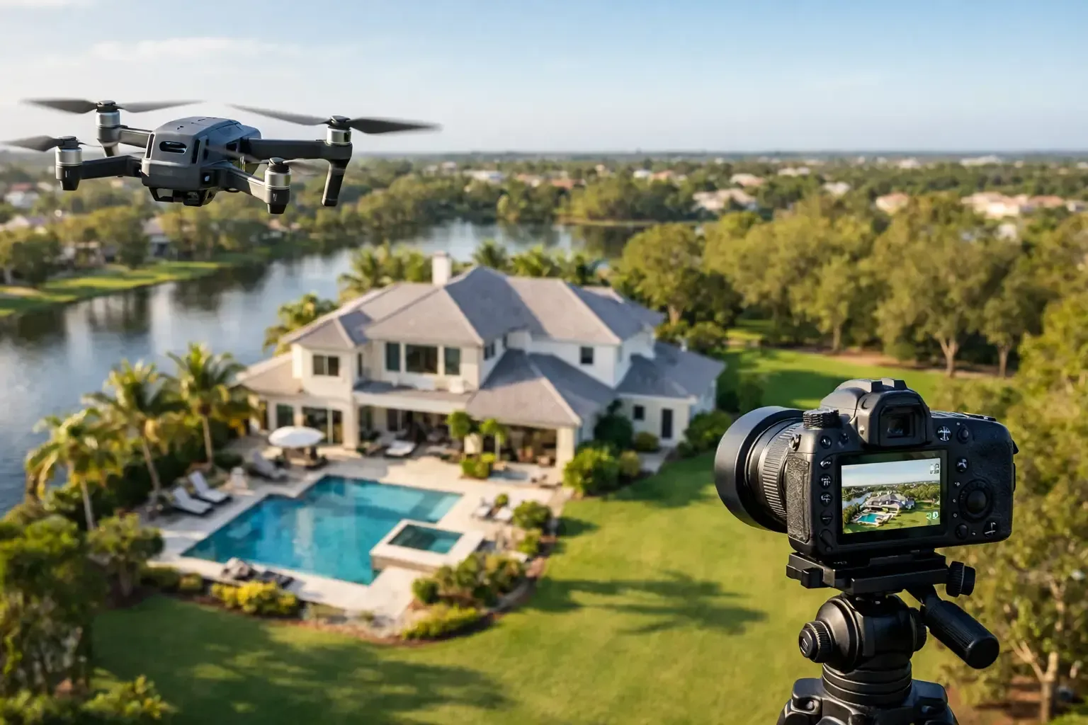
For residential listings, aerial imagery adds context that standard interior and [exterior photos](https://www.phoenixdronepros.com/top-7-ways-drone-photography-can-sell-your-home-faster-in-phoenix) cannot provide. Buyers can see lot size, backyard layout, pool placement, roof condition, access roads, nearby green space, and the relationship between the home and the neighborhood. In markets across the Southwest, where lot lines, views, and surrounding development can heavily influence value, that context matters.
For commercial property, the value is even more direct. Aerial media can show parking counts, traffic flow, loading access, adjacent businesses, ingress and egress, visibility from major roads, and the scale of the asset in a way still photography from the ground simply cannot. Investors and tenants often make fast decisions based on site usability. If the media does not clearly communicate the site, the listing starWhy drone real estate photography works
The strongest real estate media answers questions before a buyer asks them. Drone photography does that well because it removes guesswork. Instead of trying to imagine where the property sits, how deep the lot runs, or what backs up to the parcel, the viewer can see it immediately.
That clarity often leads to better engagement. Listings with aerial content tend to generate more serious attention because the visuals feel complete. Buyers spend less time trying to piece together the property from limited angles and more time evaluating whether it fits their needs. For agents, that can mean better quality inquiries and less wasted time on people who show up with the wrong expectations.
There is also a branding benefit. High-quality aerial media signals that the property is being marketed professionally. That matters in competitive residential markets and even more in commercial sales, where presentation quality influences perception of the asset and the team behind it.
What buyers actually notice from aerial imagery
Not every drone shot adds value. The best work is intentional and property-specific. In residential marketing, buyers usually respond to the practical story the footage tells. They want to understand the home's footprint, setbacks, outdoor living areas, nearby amenities, and any premium features like mountain views or corner-lot positioning.
In commercial marketing, the focus shifts. Prospects want to see the building in relation to access routes, neighboring parcels, major intersections, and development patterns. A retail pad near strong traffic counts, an industrial site with truck access, or an office asset near major corridors needs imagery that makes those advantages obvious.
This is where experience matters. Good [drone real estate photography](https://www.phoenixdronepros.com/tips-for-real-estate-drone-photography) is not about sending a drone up and capturing a few dramatic angles. It is about knowing which angles help market the property and which ones create confusion, distortion, or unnecessary distraction.
Drone real estate photography for residential listings
Residential aerial photography is most effective when the property has features that benefit from perspective. Larger lots, custom homes, gated properties, homes with detached structures, pools, landscaping, golf course positioning, mountain views, or proximity to community amenities are clear candidates.
That does not mean smaller homes should be excluded. Even a standard suburban listing can benefit from a few well-planned aerial images that show neighborhood layout, nearby parks, school access, or the overall presentation of the block. The key is restraint. Too many high-altitude shots can feel generic. The right mix of low, medium, and elevated angles tends to perform better because it keeps the property itself as the focus.
Timing also matters. Midday light in Phoenix can be harsh, while late afternoon often gives homes better definition and a more polished look. In some cases, twilight aerials can add value, especially for premium homes with lighting, pools, or outdoor entertaining areas. But twilight is not always the right choice. It depends on the property, the budget, and how the listing will be used.
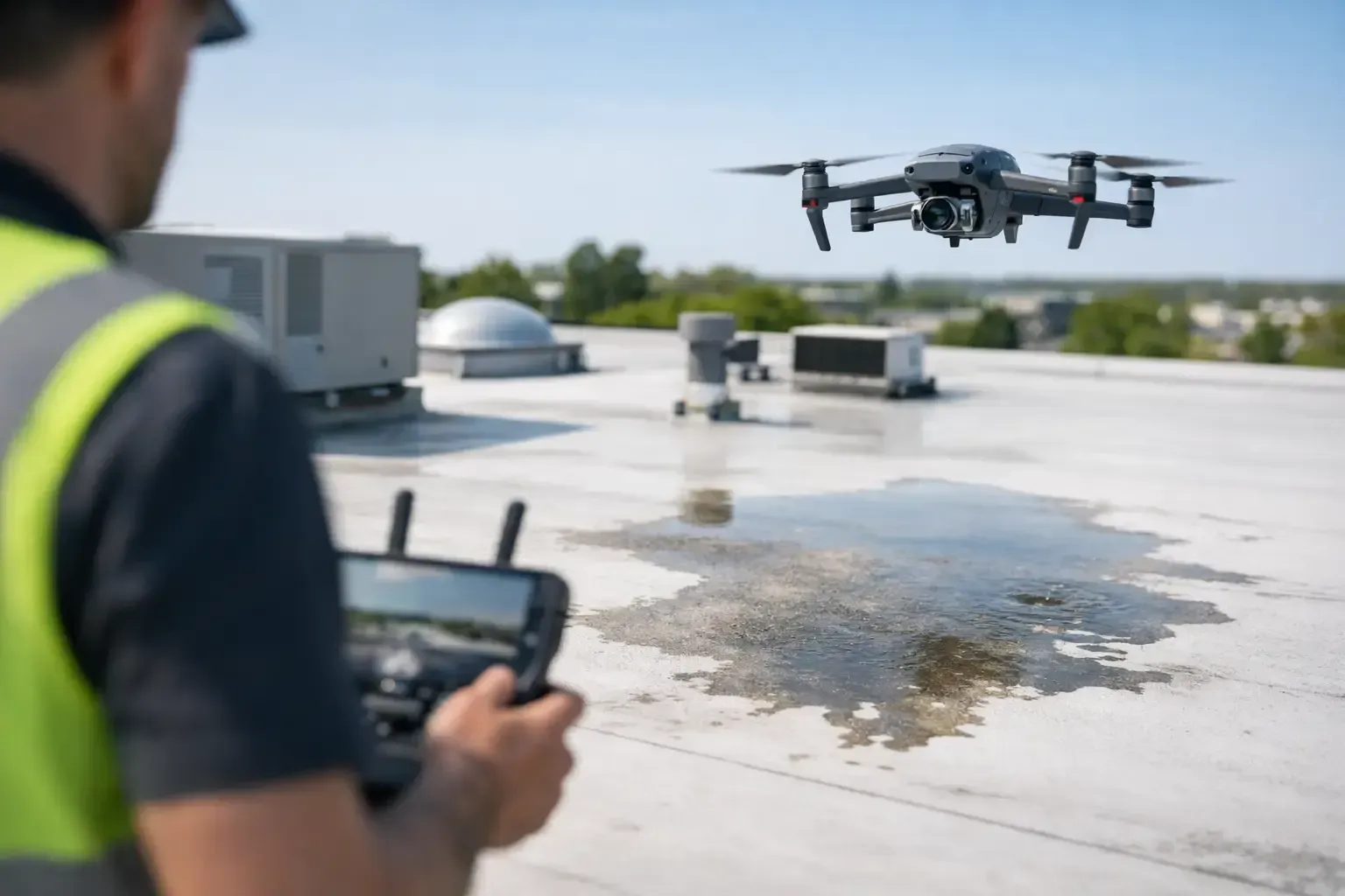
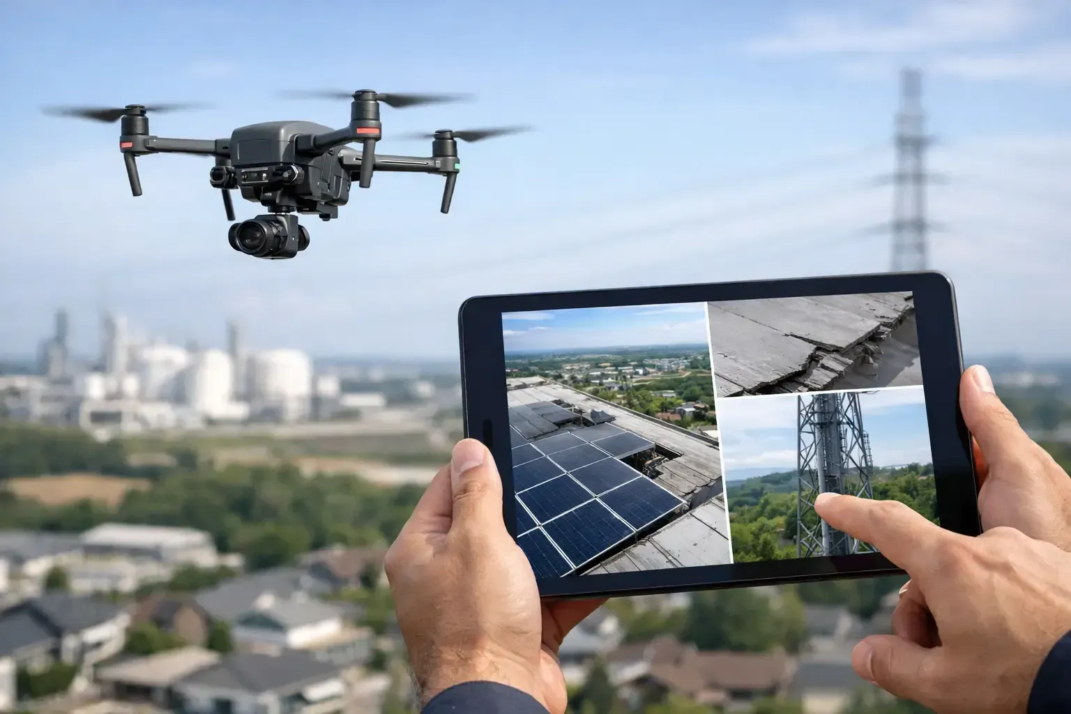
Drone real estate photography for commercial property
Commercial marketing usually demands a more strategic approach. The aerials are not just there to look sharp. They need to communicate utility, access, and investment potential.
For multifamily, that may mean showing the property layout, parking distribution, common amenities, and adjacency to transit or retail. For retail, it may be visibility, monument signage, neighboring anchors, and traffic patterns. For industrial, it often comes down to truck circulation, yard space, dock access, and proximity to major transportation routes.
Video can be especially useful in commercial campaigns because movement helps explain how a site functions. A controlled flight path can show approach routes, property boundaries, and surrounding land use more clearly than stills alone. That said, not every listing needs video. If the campaign is primarily driven by offering memorandums and listing portals, a strong still package may be enough. If the property is competing for investor attention or tenant interest, video often earns its place.
Compliance is not optional
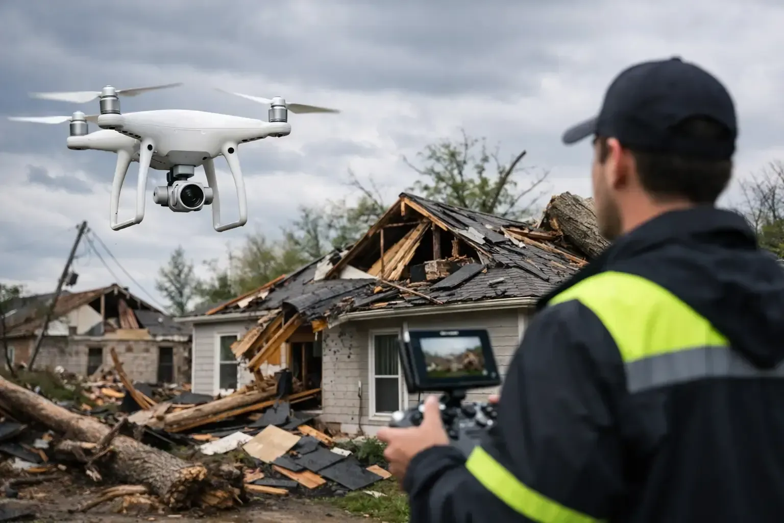
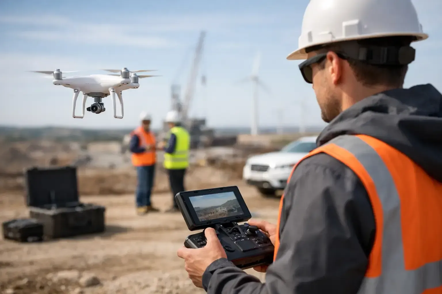
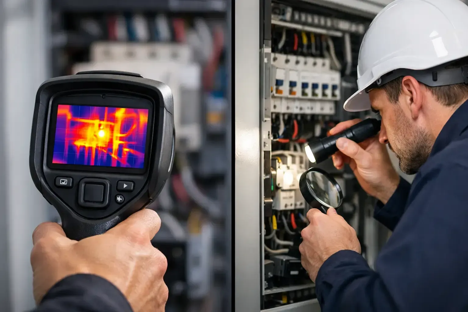
One of the biggest mistakes in this space is treating drone work like casual content creation. Real estate flights are commercial operations. They require [FAA compliance](https://www.phoenixdronepros.com/why-you-should-get-professional-drone-flight-training-before-you-fly-a-drone), airspace awareness, and the ability to operate safely around homes, traffic, utilities, and active properties.
That matters even more in cities with complex controlled airspace, dense neighborhoods, and active construction corridors. A licensed, insured operator is not just a box to check. It protects the client from avoidable risk and reduces the chances of delays, canceled flights, or poor decision-making on site.
Experienced operators also know when a requested shot is not worth the safety trade-off. Trees, power lines, nearby roads, tight setbacks, weather conditions, and local airspace restrictions all affect what can be captured. The best providers are upfront about those limitations and still deliver a strong final product.
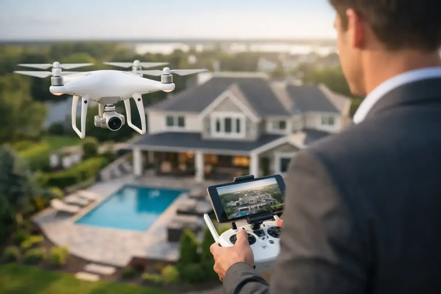
What to expect from a professional drone shoot
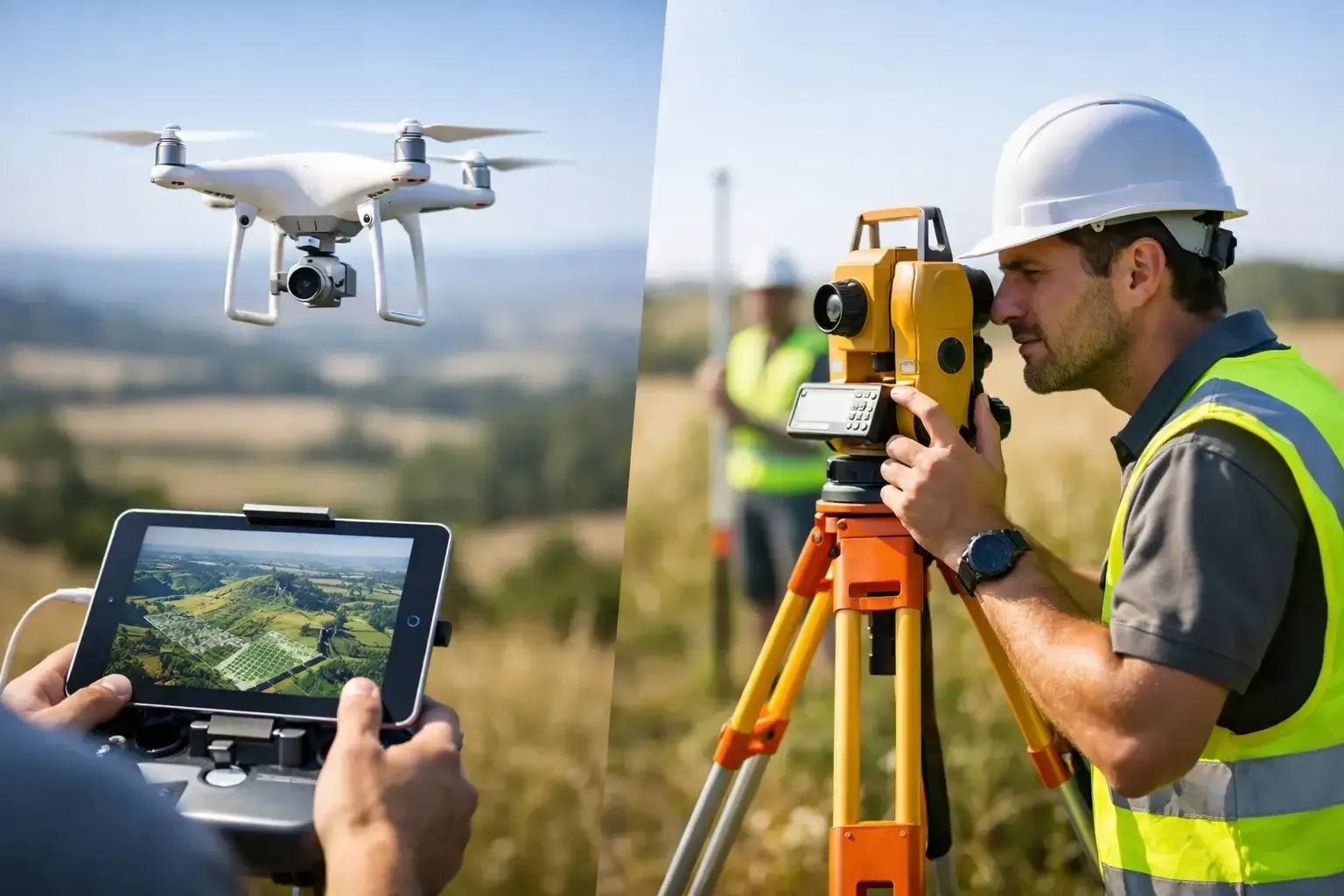
A professional process should be straightforward. First comes a review of the property type, intended use, and any special features that need to be highlighted. Then the operator confirms location conditions, airspace status, timing, and weather considerations. That planning stage is where quality starts.
On site, the goal is efficiency without rushing. The pilot should know what needs to be captured, how the sun is hitting the property, and which angles will support the listing rather than just fill a gallery. For commercial properties, it often helps to align the shot list with broker priorities such as access, frontage, parking, or parcel context.
Turnaround matters too. Real estate timelines move fast. Aerial media has the most value when it is delivered quickly, edited cleanly, and formatted for actual listing use. A slow delivery can turn good content into missed momentum.
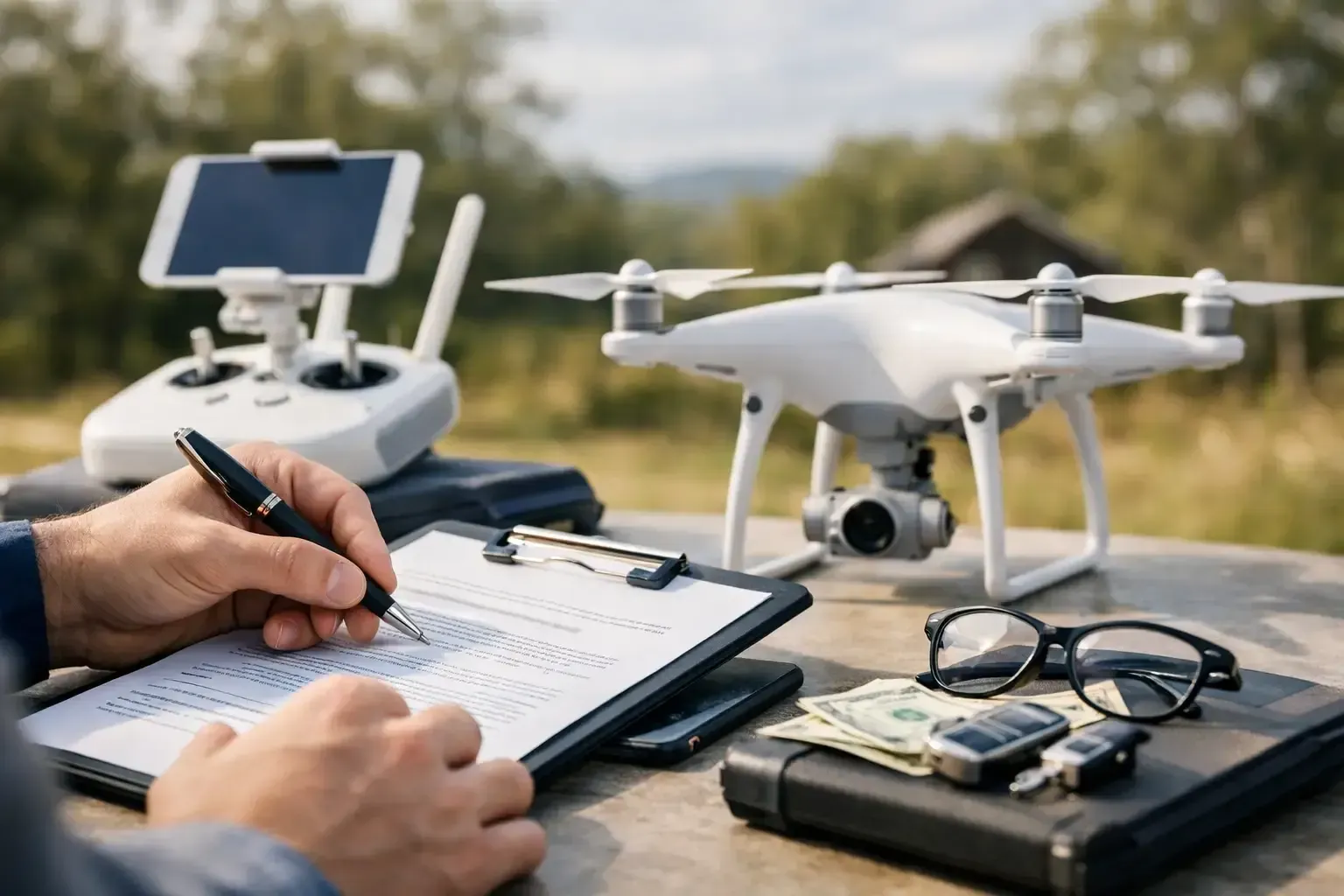
Choosing the right provider for drone real estate photography
Price matters, but it should not be the only filter. A low-cost shoot that creates compliance issues, flat images, or unusable files is not really cheaper. The better question is whether the provider understands property marketing and can operate professionally under real-world conditions.
Look for FAA certification, commercial insurance, and a portfolio that shows more than cinematic flair. You want proof that the operator understands lot lines, asset positioning, neighborhood context, and business use cases. If a provider has experience in complex airspace and time-sensitive field operations, that usually translates well to real estate assignments.
It also helps to work with a team that communicates clearly. Scheduling, access coordination, tenant considerations, weather changes, and revision expectations all go smoother when the operator is responsive and direct. That is one reason property professionals across the region work with firms like Phoenix Drone Pros when they need aerial media that is compliant, polished, and built for real marketing use.
When drone imagery may not be the right fit
Not every property needs a full aerial package. A small infill listing with minimal exterior value, limited surrounding appeal, or severe flight restrictions may only need one or two overhead stills, or none at all. In other cases, interior photography, ground video, and neighborhood lifestyle imagery may carry more weight than drone footage.
The right approach depends on the property, the target buyer, and the purpose of the campaign. Drone media works best when it adds decision-making value, not just visual flair. When used selectively and executed professionally, it becomes one of the most efficient ways to make a listing more informative and more competitive.
If you are marketing a property and the view from the ground is not telling the full story, that is usually the clearest sign to take the camera up a level.
Call phoenix drone pros @ (480) 330-1778