Phoenix Drone Pros
Blog
See the best uses for commercial drones, from property marketing and inspections to construction tracking, thermal scans, and safer site decisions fast.
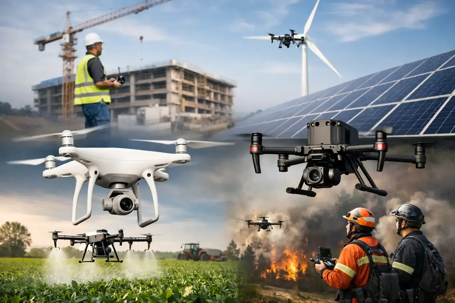
A roof issue that takes days to assess, a construction update buried in phone photos, or a commercial listing that fails to show its scale can all slow a business decision. The best uses for commercial drones solve those practical problems by putting clear aerial visuals, measurable site data, and hard-to-reach assets within reach without adding unnecessary risk or downtime.
For property owners, contractors, developers, and real estate professionals, a drone is not simply a camera in the sky. When operated by an FAA-certified, insured professional, it is a field tool for documenting conditions, communicating progress, and helping teams make faster decisions. The value depends on the deliverable, the site, and the question that needs an answer.
Best Uses for Commercial Drones in Property and Construction
1. Commercial real estate marketing
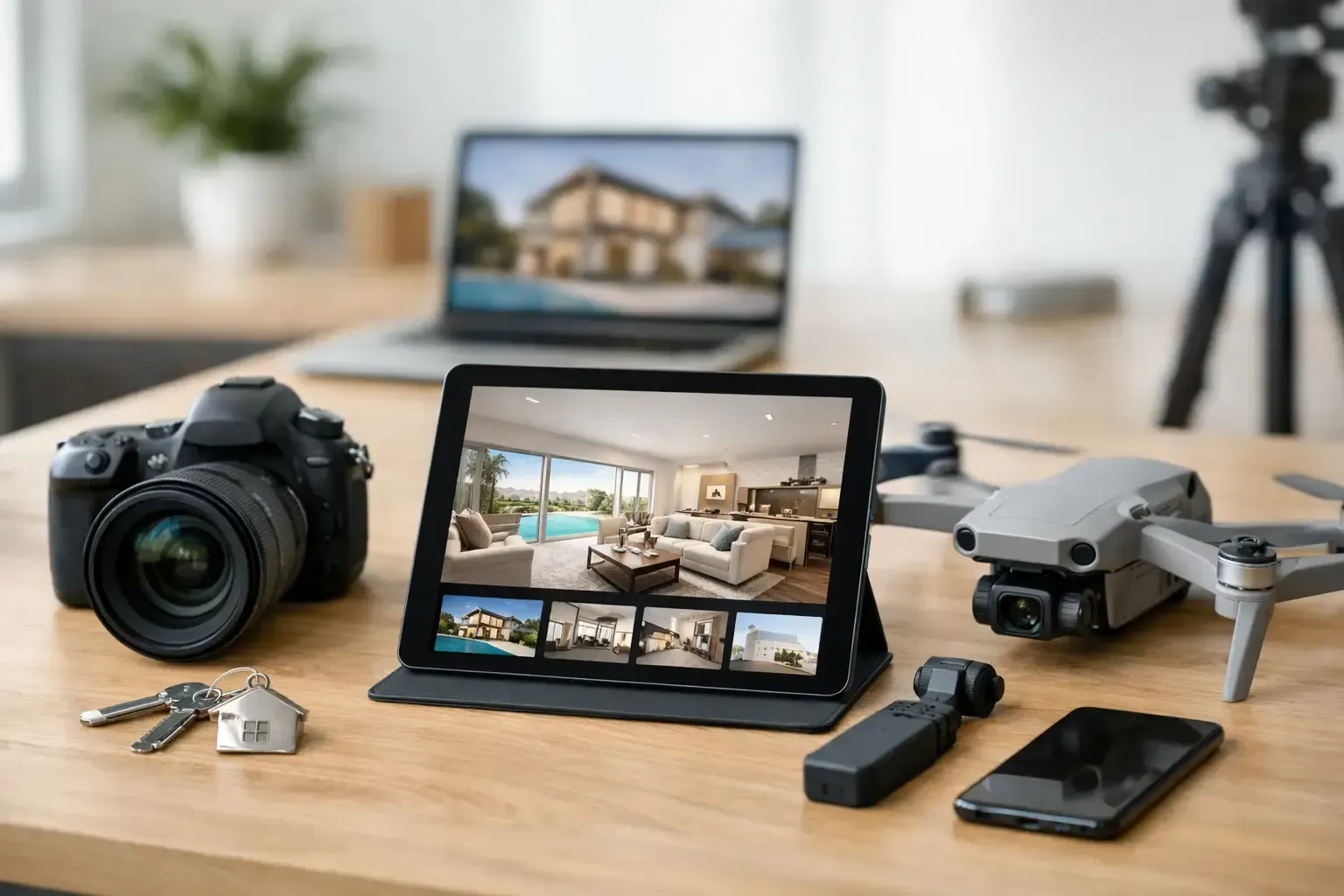
Aerial photography gives prospective tenants, buyers, and investors context that ground-level photos cannot. It shows building access, parking capacity, surrounding retail, nearby highways, acreage, loading areas, and the property's relationship to the larger market.
Video is especially effective for larger assets such as industrial facilities, multifamily communities, office campuses, land parcels, and retail centers. A well-planned aerial video can establish the location and scale of an asset quickly, then guide the viewer toward its strongest features. For brokers, this creates a more complete marketing package and helps qualify serious prospects before a site visit.
The goal should not be random overhead footage. A commercial drone shoot should be planned around the property's audience, whether that means emphasizing freeway access for an industrial buyer or outdoor amenities for a multifamily prospect.
2. Residential listing photography and video
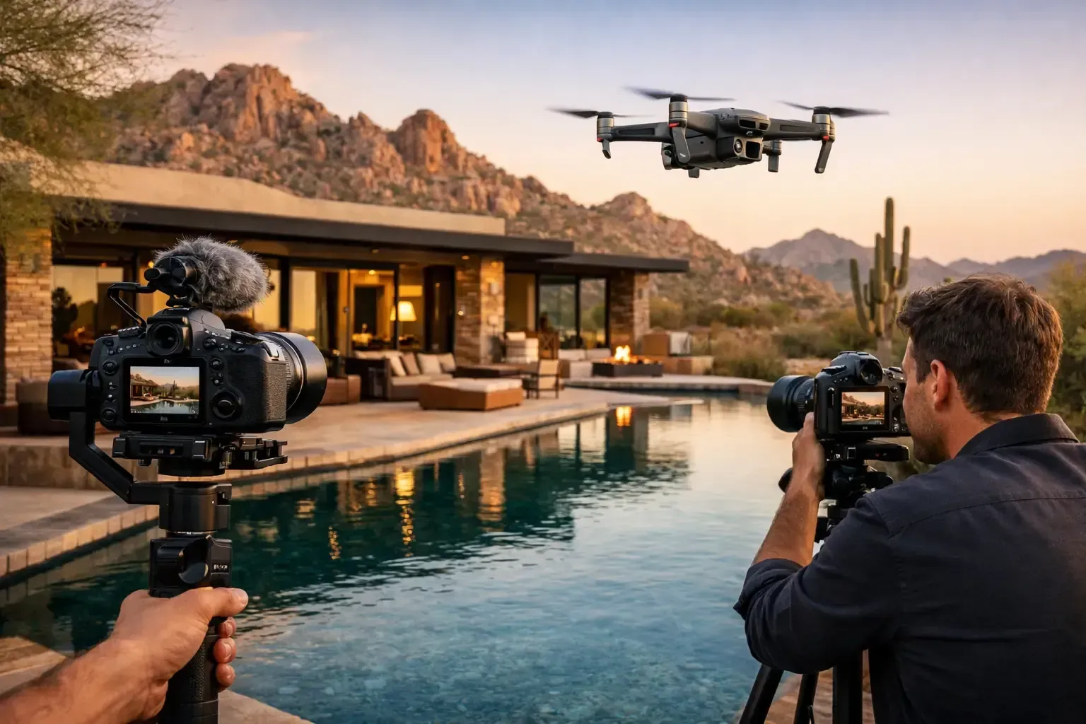
For residential agents, aerial media is most valuable when it explains what makes a home different. A drone can show lot size, pool areas, landscaping, nearby trails, corner-lot placement, views, and proximity to neighborhood amenities.
It is not necessary for every listing. A compact home with limited exterior appeal may benefit more from strong interior photography than a long drone video. But for luxury homes, acreage properties, homes with unique views, new builds, and listings near desirable parks or golf courses, aerial imagery can add real marketing impact.
Safe operations matter here. Flights near homes require attention to neighbors, people on the ground, local restrictions, and airspace. Professional operators plan the flight path and capture the needed angles without treating an active neighborhood like an open filming set.
3. Construction progress documentation
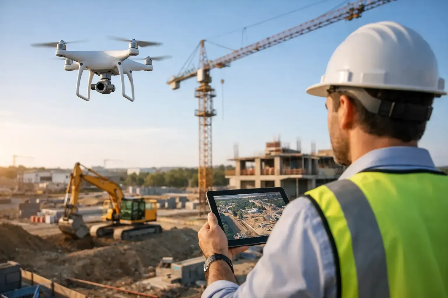
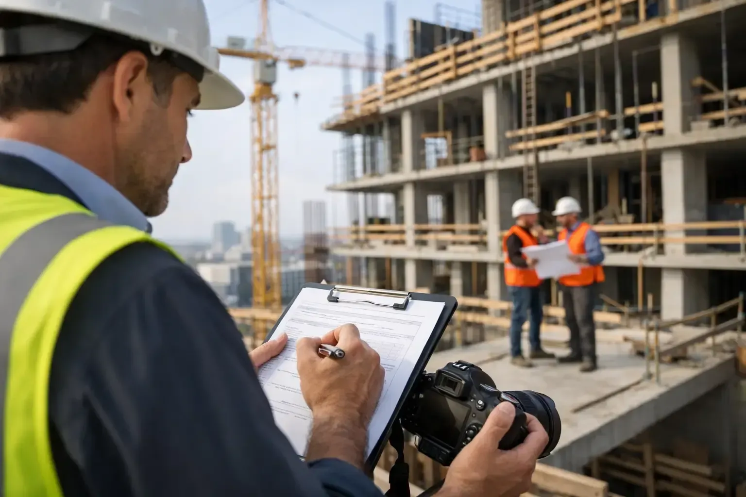
Construction teams need a reliable visual record, not occasional dramatic footage. Scheduled drone progress flights create consistent aerial views of a site over time, allowing owners, project managers, lenders, and remote stakeholders to see what has changed since the previous report.
The strongest programs use repeatable camera positions and flight paths. When images are captured from the same angles every two weeks or every month, progress is easier to compare. Teams can verify material staging, track site access, review exterior completion, monitor grading, and communicate status without requiring every stakeholder to visit the jobsite.
Drone documentation does not replace an onsite superintendent or formal quality-control process. It does provide a fast, objective visual layer that supports both. On large sites, that added perspective can reduce missed details and keep reporting more organized.
4. Roof inspections and thermal diagnostics
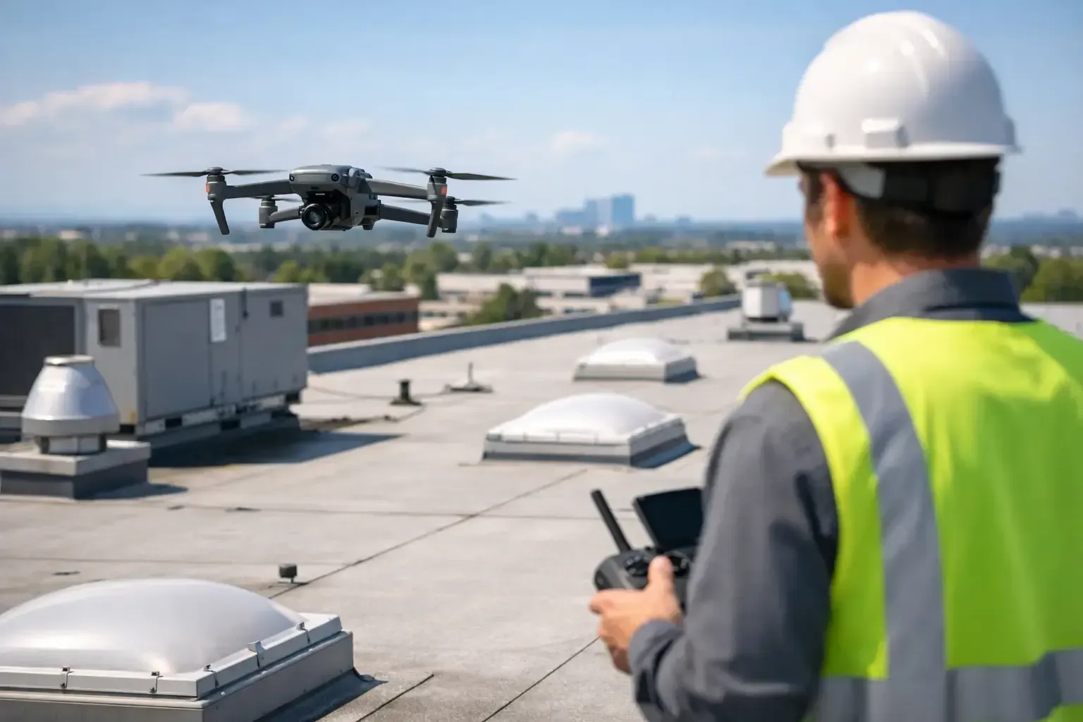
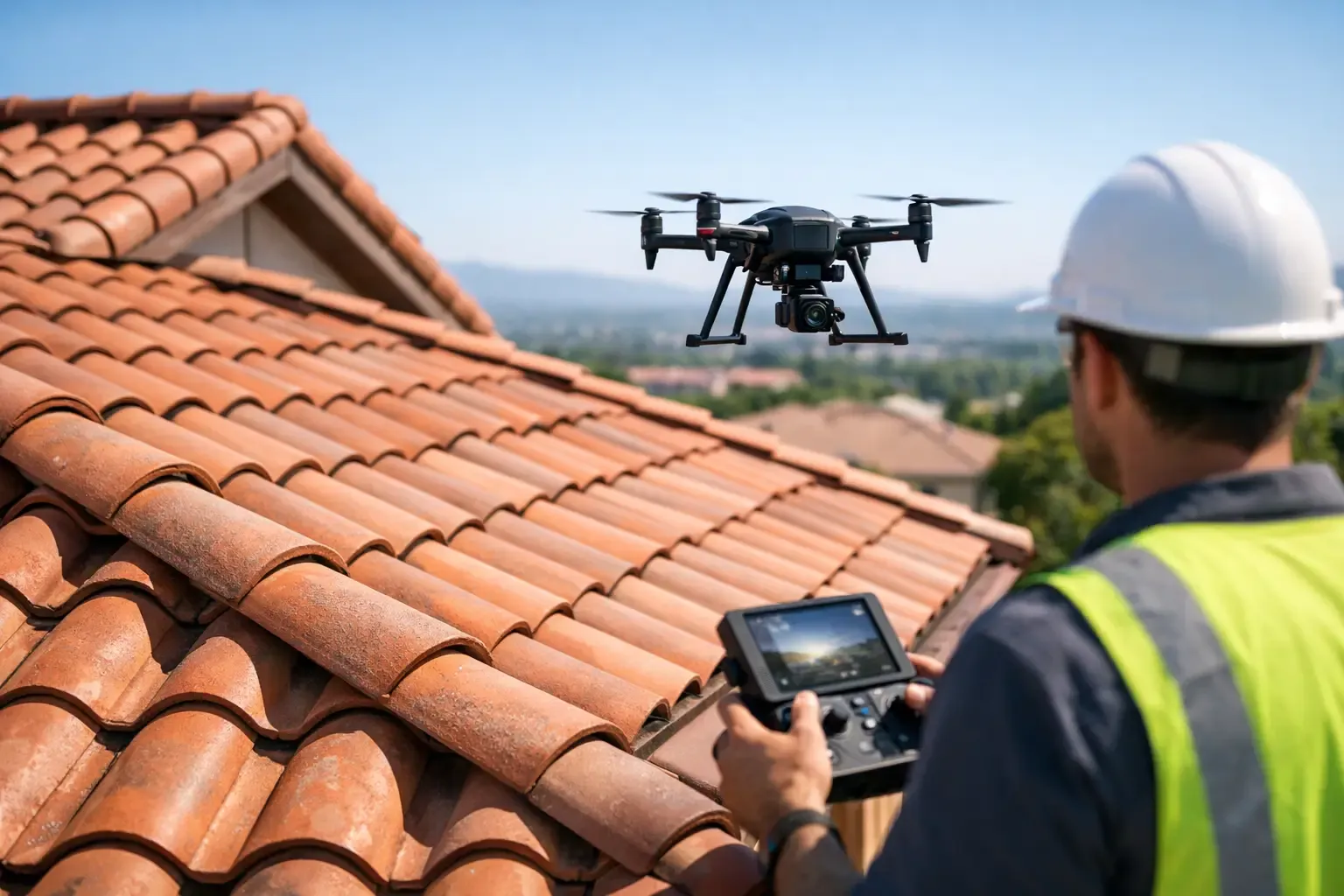
Roofs are among the most practical commercial drone applications because they are difficult, time-consuming, and sometimes unsafe to inspect closely. High-resolution aerial photography can identify visible concerns such as damaged flashing, ponding water, loose materials, debris accumulation, cracked tiles, or wear around penetrations and HVAC equipment.
Thermal imaging can add another useful layer when conditions are appropriate. Temperature differences may point to areas that deserve closer investigation, including potential moisture intrusion, insulation gaps, or heat loss. Thermal findings are screening data, not a final diagnosis. A qualified roofing or building professional should confirm the cause and recommend repairs.
For property managers with multiple buildings, drone roof inspections can help prioritize maintenance. Instead of sending crews onto every roof immediately, managers can use clear visuals and thermal data to focus attention where it is most needed.
5. Solar panel inspections and cleaning support
Solar arrays are designed to work in the open, which makes them ideal for aerial inspection. Drone imagery can help identify visible debris, soiling patterns, physical damage, shading concerns, and panels that may require a closer check. Thermal inspections may also reveal unusual heat signatures that warrant review by a solar technician.
Commercial drone services can also support solar panel cleaning operations, particularly for large or difficult-to-access arrays. The right method depends on the panel system, mounting structure, water access, cleaning requirements, and manufacturer guidance. The priority is improving access and visibility without creating risk for panels, personnel, or the property.
In Arizona and Texas, where heat, dust, and sun exposure are constant operational factors, regular visual assessment can help owners stay ahead of avoidable performance and maintenance issues.
6. Site inspections for facilities and hard-to-reach assets
Drones help inspect exterior assets that would otherwise require ladders, lifts, scaffolding, or extended shutdowns. This includes building facades, towers, elevated signage, gutters, drainage areas, antennas, exterior equipment, and difficult-to-reach portions of warehouses and industrial structures.
The benefit is not that a drone can inspect everything from the air. Fine-detail inspections still sometimes require hands-on access. The benefit is that aerial imaging can quickly document apparent conditions, identify areas of concern, and help maintenance teams determine where closer access is justified.
That distinction matters for budgeting. A drone survey can reduce unnecessary lift rentals or repeated site visits, while giving contractors a clearer scope before they mobilize equipment.
7. Land development, grading, and site planning
Before construction begins, aerial photos and video can document existing conditions across a parcel. Developers and landowners can use this visual record to show topography, drainage patterns, site entrances, adjacent development, vegetation, utility corridors, and surrounding road access.
During grading and infrastructure work, recurring aerial documentation makes it easier to communicate changes to investors, owners, and consultants. It can also create a useful before-and-after record for presentations, entitlement support, and project marketing.
Precise mapping, measurements, and survey-grade deliverables require the appropriate workflow, equipment, ground control, and professional qualifications. Standard aerial photography is valuable for visual planning, but it should not be presented as a replacement for a licensed survey when legal boundaries or engineering-grade measurements are required.
8. Insurance, damage, and restoration documentation
After storms, fires, wind events, or other property damage, timely visual documentation matters. Aerial imagery can capture roof conditions, exterior damage, affected areas, and the overall scope of a site while reducing the need to send someone into a potentially hazardous location immediately.
For restoration contractors and property managers, drone photos can support initial assessments, client communication, and project records. They can also establish a visual baseline before repairs begin, then document completed work afterward.
The right expectation is clarity, not claims adjudication. Drone media can provide strong supporting documentation, but insurance coverage decisions remain with the carrier, adjuster, and applicable professionals.
9. Events, venues, and business promotions
Aerial video can give an event or business campaign a sense of energy and scale. It works well for outdoor festivals, corporate gatherings, golf events, venue promotions, grand openings, and hospitality properties where the setting is part of the experience.
This use case requires more planning than many clients expect. Flights over people, near roads, or in controlled airspace may involve restrictions, approvals, or operational limits. A professional operator should assess the location before promising a particular shot. In some cases, a safer alternate angle delivers the same visual result without creating a compliance problem.
10. Search support and situational awareness
For authorized public safety, security, and search support operations, drones can provide rapid overhead awareness of large areas. Thermal capabilities can be useful in low-light conditions, while aerial video can help teams assess terrain, access routes, and areas that are difficult to view from the ground.
These missions demand disciplined operations, clear coordination, and respect for legal authority. A drone is a support tool for trained teams, not a substitute for emergency responders or established search protocols.
What Makes a Commercial Drone Flight Worth the Cost?
The best drone service starts with a defined outcome. Ask whether you need marketing content, recurring documentation, an inspection screen, thermal imagery, or visual evidence for a project file. That answer determines the aircraft, camera package, flight plan, editing needs, and turnaround time.
It also determines whether the operator is equipped for the site. Commercial properties in the Phoenix metro area and San Antonio can involve controlled airspace, active construction activity, high temperatures, restricted areas, and busy public surroundings. FAA certification, appropriate airspace authorization, insurance coverage, and proven field experience are operational requirements, not optional extras.
Phoenix Drone Pros approaches each assignment around the decision the client needs to make. A clear scope, professional flight planning, and usable deliverables will always create more value than footage that looks impressive but does not answer a business question.
Before scheduling a flight, define the property areas that matter most, the deliverables your team needs, and the date the information must be ready. That preparation turns aerial service from a nice visual add-on into a practical part of your property or project workflow.