Phoenix Drone Pros
Blog
Construction progress drone photography gives owners, contractors, and developers clear site visibility, safer reporting, and better project records.
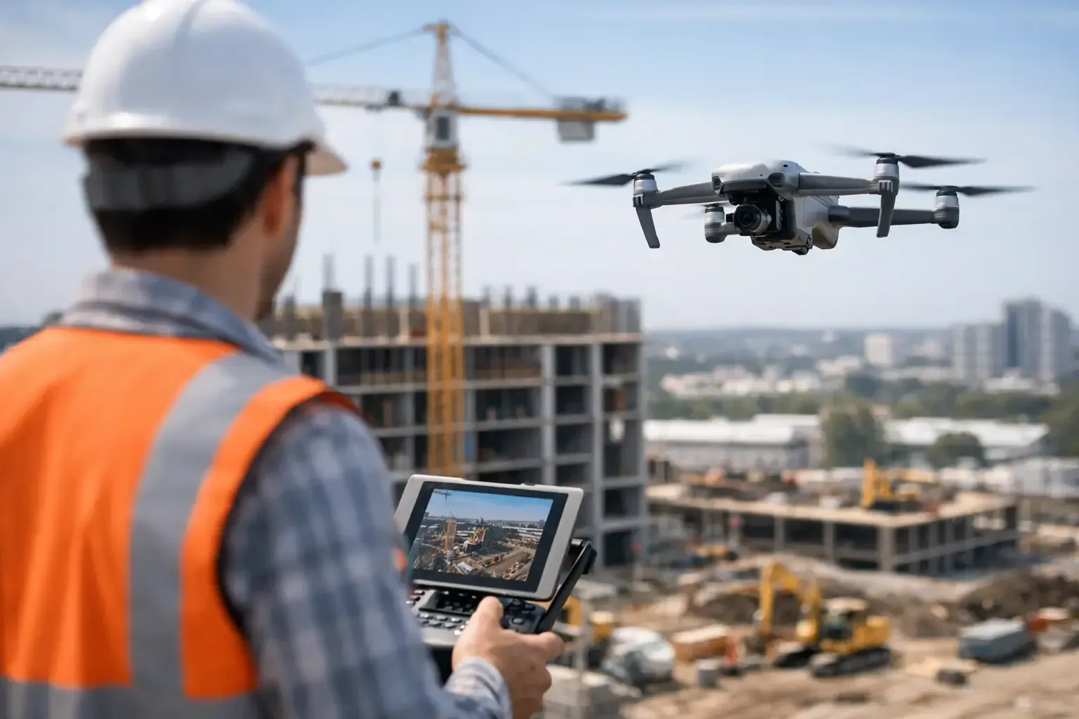
A weekly site walk sounds simple until the project stretches across several acres, crews are stacked across phases, and stakeholders want updates before the end of the day. That is where construction progress drone photography becomes more than a nice visual add-on. It becomes a practical reporting tool that helps owners, developers, lenders, and project teams see what is actually happening on site without relying on scattered phone photos or incomplete field notes.
For active jobsites, the value is not just the aerial perspective. It is consistency. When progress is documented from the same angles, same elevations, and same intervals, the imagery starts to function like a visual timeline. That timeline can support internal reporting, client communication, dispute prevention, and marketing long before the ribbon cutting happens.
What construction progress drone photography actually does
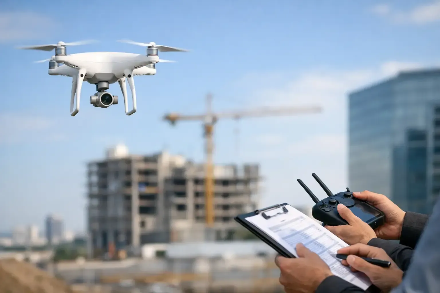
At a basic level, this service captures scheduled aerial images and video of a project as it moves from grading to completion. In practice, the job is more specific than that. The pilot needs to understand safe flight operations around crews, equipment, cranes, and restricted areas while also producing media that is useful for decision-makers.
The best deliverables are not random overhead shots. They are organized documentation assets. That usually means repeatable viewpoints, wide establishing imagery, detail captures of specific work zones, and footage that is clean enough for executive updates or investor presentations. For some teams, still photos are enough. For others, short edited videos, map-based outputs, or orthomosaic site views are worth adding. It depends on how the project is managed and who needs the information.
Why jobsite teams use drone progress reporting
The biggest advantage is visibility without interruption. A superintendent can walk the site and spot issues at ground level, but aerial documentation shows sequencing, material staging, access paths, roofing progress, facade work, paving, and general site coordination in one frame. That broader perspective helps when teams are trying to communicate with people who are not physically on site every day.
Construction progress drone photography also reduces friction in reporting. Instead of waiting for a field team to compile updates from multiple phones, stakeholders get a consistent set of visuals tied to a date. That matters when the audience includes developers, ownership groups, investors, tenants, or lenders who expect clear proof of progress.
There is also a recordkeeping benefit that tends to get overlooked until something goes wrong. Weather delays, access disputes, schedule questions, and workmanship discussions are easier to sort through when there is a dated visual archive. Drone imagery will not solve every disagreement, but it can provide useful context when timelines are being reviewed months later.
Where drone progress photos deliver the most value
Large commercial builds are an obvious fit, but they are not the only ones. Multifamily developments, industrial sites, retail pads, office campuses, roadway work, schools, municipal projects, and custom residential construction can all benefit from scheduled aerial documentation.
The strongest use case is any project where the site is hard to understand from the ground, where multiple stakeholders need regular updates, or where the team wants a better historical record. In fast-growing markets like Phoenix and San Antonio, that often includes projects moving quickly under tight reporting expectations. It can also include sites in controlled or complex airspace, where experienced, compliant operators matter.
What good construction progress drone photography looks like
Quality has less to do with flashy editing and more to do with repeatability and clarity. The camera angles should be intentional. Lighting should be managed as well as possible. The site should be shown in a way that makes progress easy to compare from one flight to the next.
A dependable provider will usually establish a flight plan early in the project. That may include fixed overview positions, lower-altitude detail shots, directional passes that show site access and context, and targeted captures for milestones like slab pours, steel erection, roofing, exterior finishes, and final landscaping. If the framing changes every visit, the documentation becomes harder to use.
This is also why pilot judgment matters. Active jobsites are dynamic. Equipment moves, crews shift, and temporary hazards appear without notice. Good operators do not force a shot that compromises safety. They adjust while still protecting the consistency of the deliverable.
Frequency depends on the project, not a generic package
Some projects need weekly flights because stakeholders want a close read on schedule performance. Others do well with biweekly or monthly documentation. A short civil project might only need milestone captures. A long commercial build may benefit from a recurring program that starts at dirt work and ends at turnover.
The right schedule depends on project pace, reporting needs, and budget. More flights create a richer record, but not every site needs that level of detail. The best approach is usually to match the flight cadence to actual decision-making needs rather than buying imagery for its own sake.
What to expect from a professional drone operator
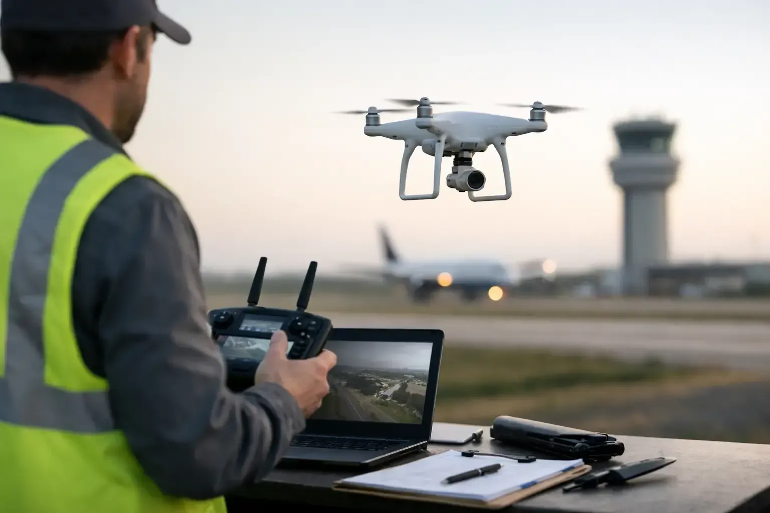
Construction sites are not the place for casual flying. Professional operators should be FAA certified, properly insured, and comfortable working around live operations while coordinating with site contacts. They also need to understand airspace restrictions, especially in metro areas where airports, heliports, or controlled flight zones can affect scheduling.
That operational side matters just as much as image quality. A site team needs a provider who shows up on time, communicates clearly, follows check-in procedures, and can work without creating distractions for crews. Fast turnaround is important too. Progress reporting loses value if the media arrives after the meeting it was supposed to support.
This is where experience separates commercial operators from hobby-level service providers. Construction progress drone photography is not just about getting a drone in the air. It is about delivering usable documentation under real-world conditions.
Common mistakes to avoid
One common mistake is treating progress imagery like marketing media only. Marketing shots can be polished and cinematic, but progress reporting needs consistency first. If every visit is designed purely for visual impact, the archive becomes less useful for actual project tracking.
Another issue is irregular scheduling. If flights happen only when someone remembers to book them, there will be gaps right when important work is happening. The strongest programs are planned in advance so key phases are not missed.
There is also the compliance question. Hiring the cheapest available pilot may look efficient until airspace approvals, insurance requirements, or jobsite safety expectations become a problem. On commercial projects, those details are not small print. They are part of risk management.
Construction progress drone photography for owners and developers
Owners and developers often need a cleaner high-level view than field teams do. They want to know whether visible work aligns with the schedule, whether the site looks organized, and whether the project is presentation-ready for stakeholders. Aerial documentation supports that need without requiring frequent in-person visits.
It can also help when communicating externally. Leasing teams, capital partners, and end users often respond better to visual updates than written summaries alone. A current aerial image can show scale, access, surrounding development, and construction momentum in seconds.
For that audience, polished delivery matters. Files should be organized, labeled, and easy to review over time. The goal is not just to capture media, but to create a dependable reporting asset.
Construction progress drone photography for contractors and project managers
Contractors and project managers usually care about utility first. They need imagery that helps document conditions, communicate milestones, and support reports without slowing down operations. Aerial views can clarify staging constraints, show how separate scopes are interacting, and give office-based team members a current site read.
There is a practical balance here. Drone media should support the field team, not create extra admin work. That means deliverables should be straightforward, timely, and aligned with the way the project already communicates. When done right, the service saves time instead of adding another layer to manage.
Phoenix Drone Pros approaches this work the same way it handles other commercial drone operations - with FAA-certified flights, insured service, dependable scheduling, and a focus on deliverables that are actually useful on working sites.
The real return on investment
The return is rarely just one thing. Sometimes it is better reporting. Sometimes it is clearer stakeholder communication. Sometimes it is a dated visual record that becomes valuable later. And sometimes it is simple efficiency because fewer people need to travel to the site to understand status.
Not every project needs video every week. Not every client needs mapping outputs. But most active builds benefit from consistent, professional aerial documentation if the service is set up around the project’s real needs.
If you are evaluating construction progress drone photography, the right question is not whether drones look impressive. It is whether your team would make better decisions, communicate more clearly, and maintain a stronger project record with scheduled aerial visibility. On many jobsites, the answer is yes.