Phoenix Drone Pros
Blog
Orthomosaic drone mapping services deliver accurate aerial maps for construction, property, and inspections with fast, compliant results.
A single site visit can answer weeks of back-and-forth when the deliverable is a precise aerial map instead of a handful of photos. That is why orthomosaic drone mapping services have become a practical tool for construction teams, developers, property managers, and owners who need more than attractive imagery. They need usable data that shows what is on the ground, where it is, and how conditions are changing over time.
An orthomosaic map is not just a stitched drone photo. It is a corrected, high-resolution aerial image built from many overlapping images, processed so scale is consistent across the map. That correction matters. In a regular aerial photo, perspective distortion can make objects appear shifted or stretched. In an orthomosaic, the image is aligned so measurements, layout reviews, and visual documentation are far more reliable.
For property-focused work, that difference is significant. A contractor may want to verify material staging areas, track grading progress, or compare current conditions against plans. A developer may need a clean overhead record of a site before and after a major phase. A property manager may need clear visual documentation of parking lots, roofs, drainage patterns, or site boundaries. In each case, the value is not just the image quality. It is the ability to make decisions faster with better visibility.
What orthomosaic drone mapping services actually provide
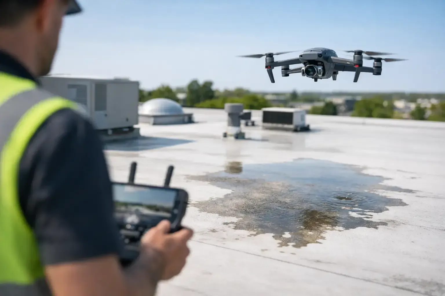
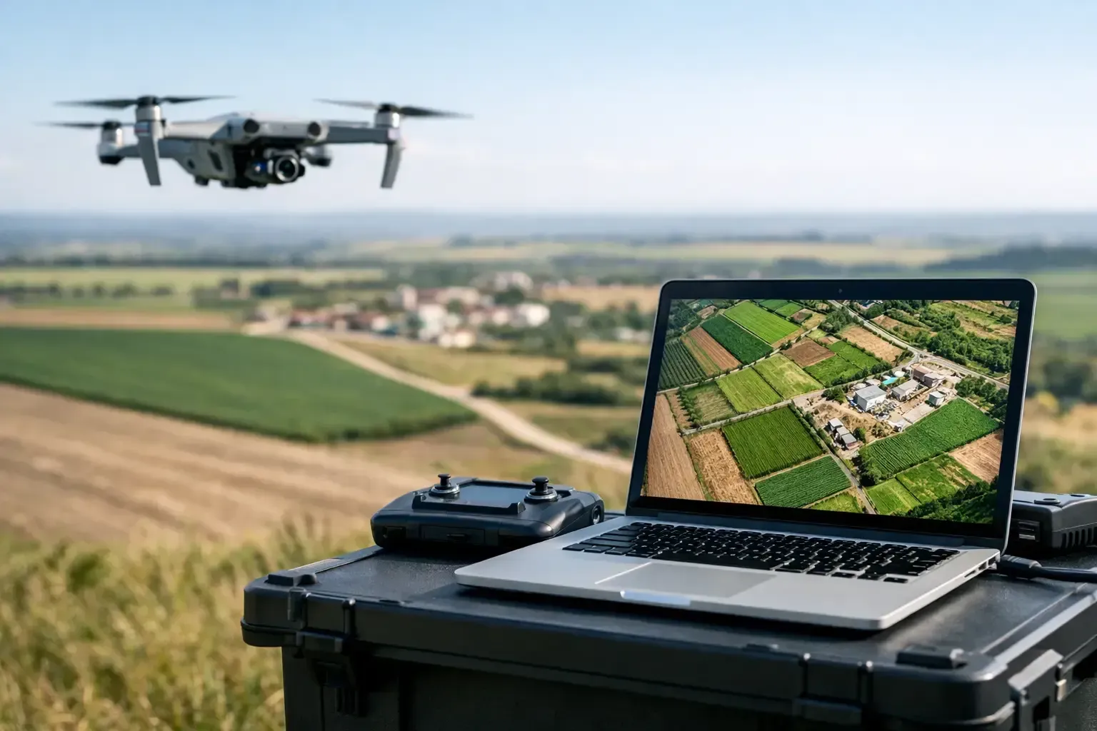
The core deliverable is a top-down aerial map created from a structured flight path. Instead of flying casually and capturing a few dramatic angles, the drone follows a planned grid and captures a large number of overlapping images. Those images are then processed with mapping software to create one geometrically corrected image of the entire site.
Depending on the job, the final output may support visual site review, progress documentation, planning conversations, or measurement-based workflows. Some projects also include supplemental outputs such as contour models, point clouds, or elevation data, but it depends on the site conditions and the client’s goal. If the need is basic visual documentation, a clean orthomosaic may be enough. If the need is design coordination or earthwork tracking, additional data products may make sense.
That is where experienced flight planning matters. Not every site needs the same flight altitude, overlap rate, ground control strategy, or processing workflow. A flat commercial parcel and an active vertical construction site present very different mapping conditions. Trees, reflective surfaces, active equipment, and restricted access can all affect how the mission should be flown.
Why construction and development teams use orthomosaic drone mapping services
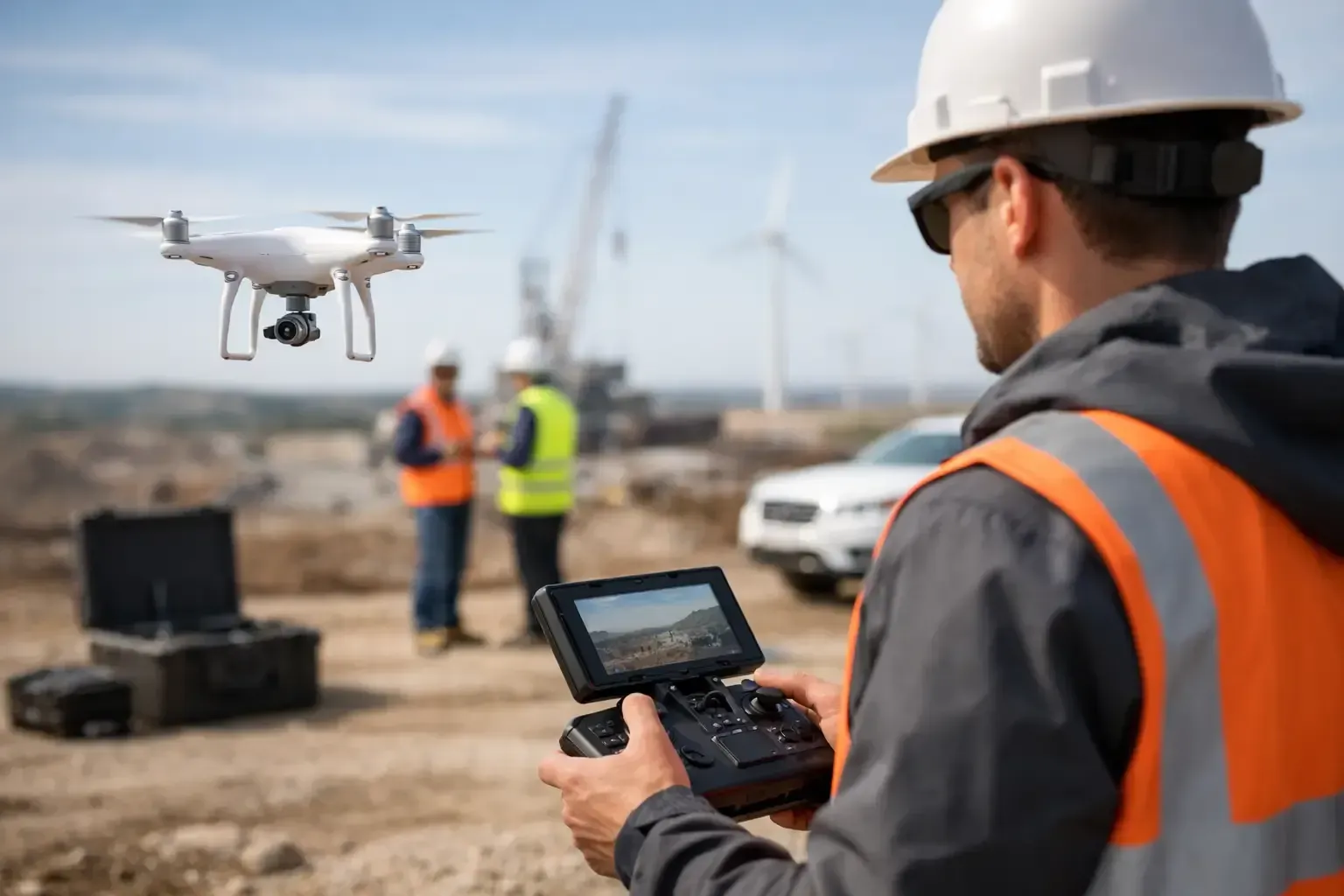
Construction is one of the strongest use cases because overhead visibility solves real operational problems. On active jobsites, people are moving quickly, conditions change daily, and sitewide visibility is often limited from the ground. A current orthomosaic helps project teams see the whole site at once.
That can improve communication between owners, supers, engineers, and subcontractors. Instead of relying on fragmented phone photos or verbal updates, the team can review an accurate aerial image that shows haul roads, stockpiles, installed utilities, slab progress, laydown areas, and access conditions. For recurring projects, repeat mapping flights create a visual timeline that is useful for progress reporting and internal accountability.
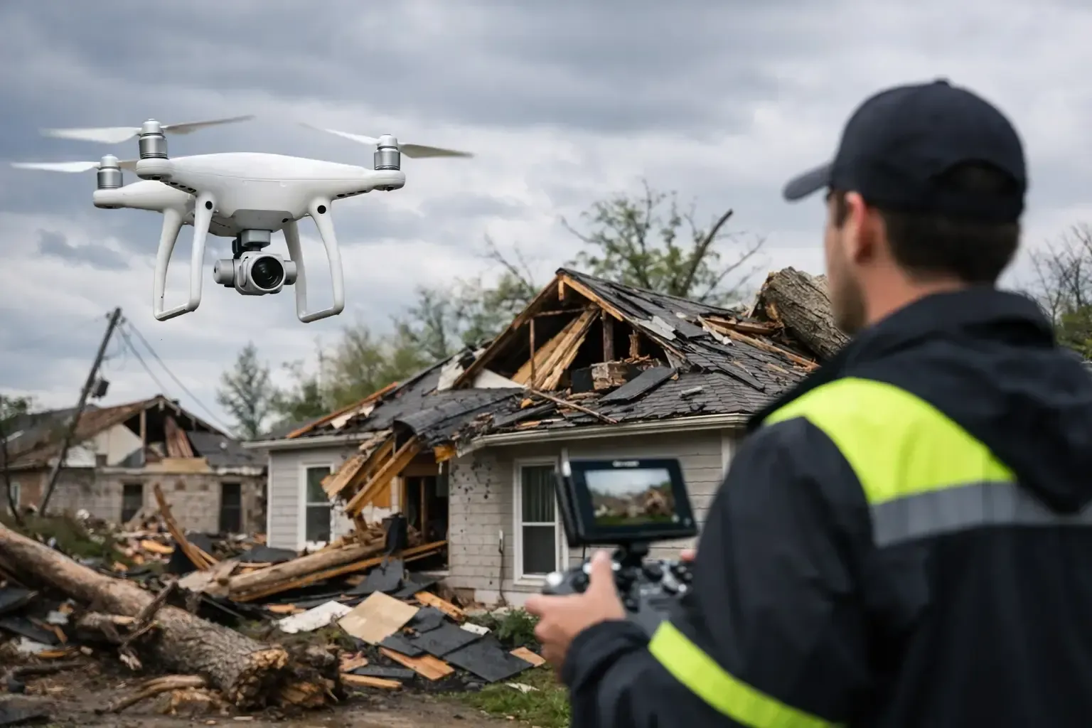
There is also a risk-management benefit. If a dispute comes up over staging, site access, drainage impact, or sequence of work, dated aerial documentation can be valuable. It does not replace survey-grade verification in every case, but it often provides a much clearer record than standard site photography.
Orthomosaic drone mapping services for property owners and managers
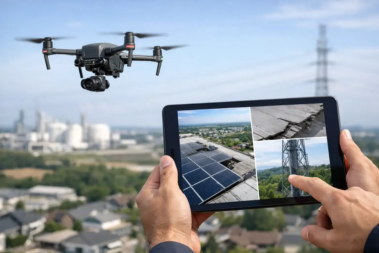
Outside construction, property owners and managers often use orthomosaic maps to document conditions across larger parcels. This is especially useful when the property includes multiple structures, parking areas, drainage channels, landscaping zones, or undeveloped land. A current aerial map makes it easier to assess the property as a whole instead of piecing together separate ground-level observations.
For due diligence, the map can help highlight access patterns, visible maintenance issues, roof layouts, fencing, and site organization. For ongoing operations, it can support vendor planning, asset tracking, and capital improvement discussions. It is also useful when several stakeholders need to review the same property without repeated site walks.
That said, not every property benefits equally from mapping. A small site with simple access may not require a formal orthomosaic. In those cases, standard aerial photography or targeted inspection work may be more cost-effective. The right approach depends on whether the client needs documentation, measurements, repeatable progress records, or just a visual overview.
What affects accuracy and usability
Accuracy is one of the first questions buyers ask, and for good reason. The answer depends on how the project is planned and processed. Flight altitude, image overlap, terrain variation, obstructions, and control points all influence the result. So does the intended use.
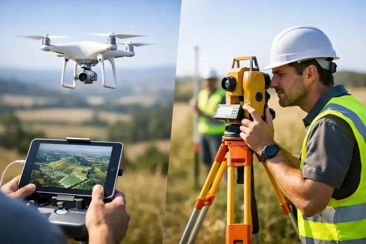
If the map is being used for general planning, marketing support, or visual progress tracking, standard mapping workflows may be sufficient. If the client needs tighter positional accuracy for engineering or volume calculations, the project may require ground control points or RTK-enabled workflows. Those steps add time and complexity, but they can significantly improve reliability.
Usability also depends on consistency. If you plan to compare site conditions month after month, the missions should be flown with repeatable settings and a disciplined process. That is one reason professional operators matter. FAA compliance is only part of the job. The bigger issue is whether the pilot understands airspace, site safety, data capture standards, and the operational discipline required to produce repeatable mapping outputs.
Why professional drone operations matter
Orthomosaic mapping sounds straightforward until the site gets complicated. Controlled airspace, active jobsites, nearby traffic, workers on site, and changing weather all affect the mission. So does the need to coordinate with owners, superintendents, or facility teams.
A professional provider brings more than a drone. They bring insured operations, FAA-certified flight procedures, preflight planning, and the experience to work safely in environments where there is no room for guesswork. For commercial clients, that matters because delays, safety issues, or poor data capture can cost more than the mapping service itself.
This is especially true in urban markets and fast-moving development areas. In places like Phoenix and San Antonio, operators may be dealing with heat, glare, restricted airspace, and dense built environments. Clean execution matters from the first scheduling call through final delivery. Phoenix Drone Pros approaches mapping the same way it approaches inspections and commercial media work - with clear communication, compliant operations, and deliverables built around the client’s actual use case.
How to know if orthomosaic drone mapping services are the right fit
The best indicator is simple: do you need a sitewide, current, top-down view that people can actually use for planning or documentation? If yes, mapping is worth considering. It is particularly useful when the site is too large to assess efficiently from the ground, when changes need to be tracked over time, or when multiple stakeholders need a common visual reference.
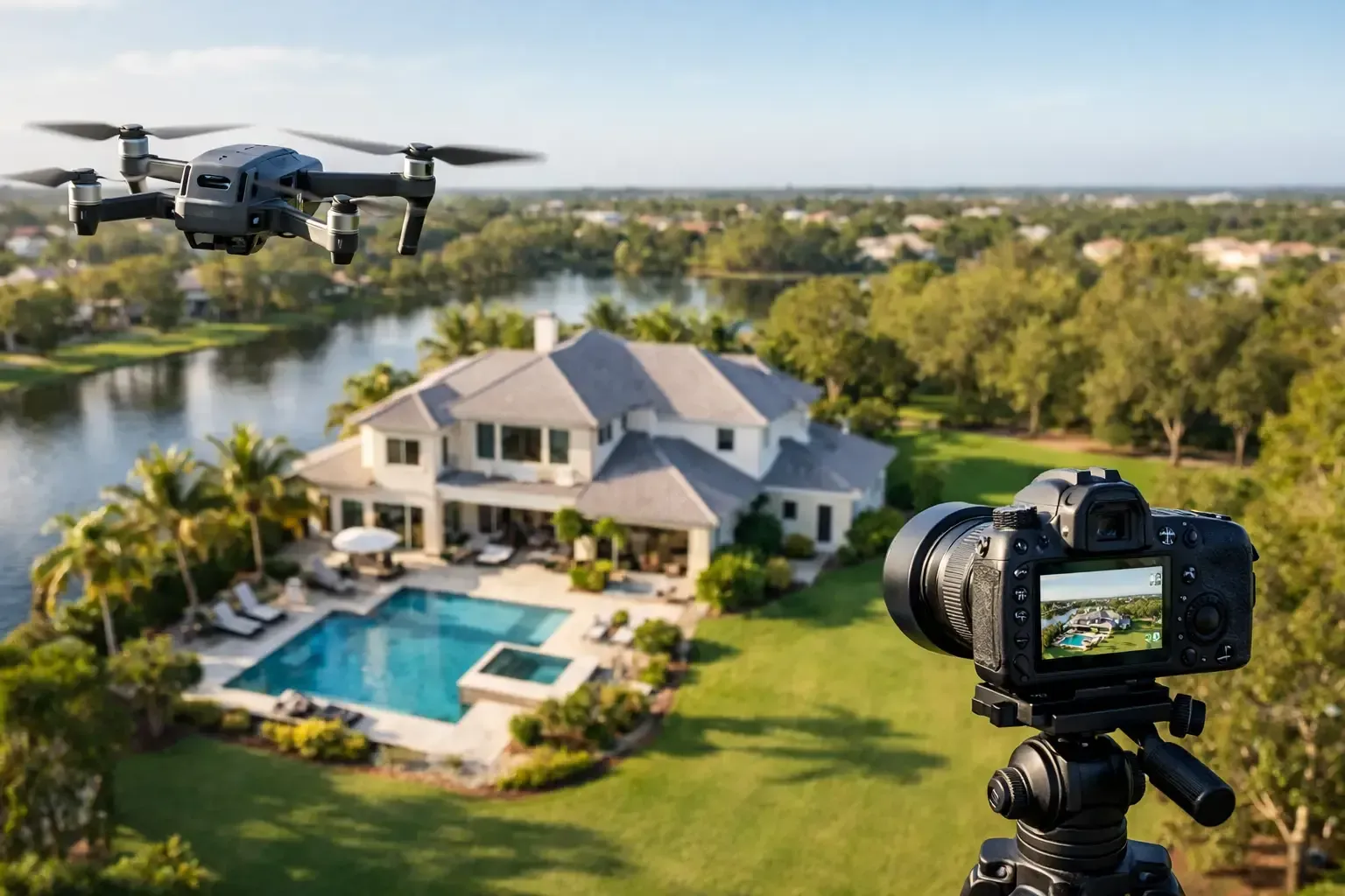
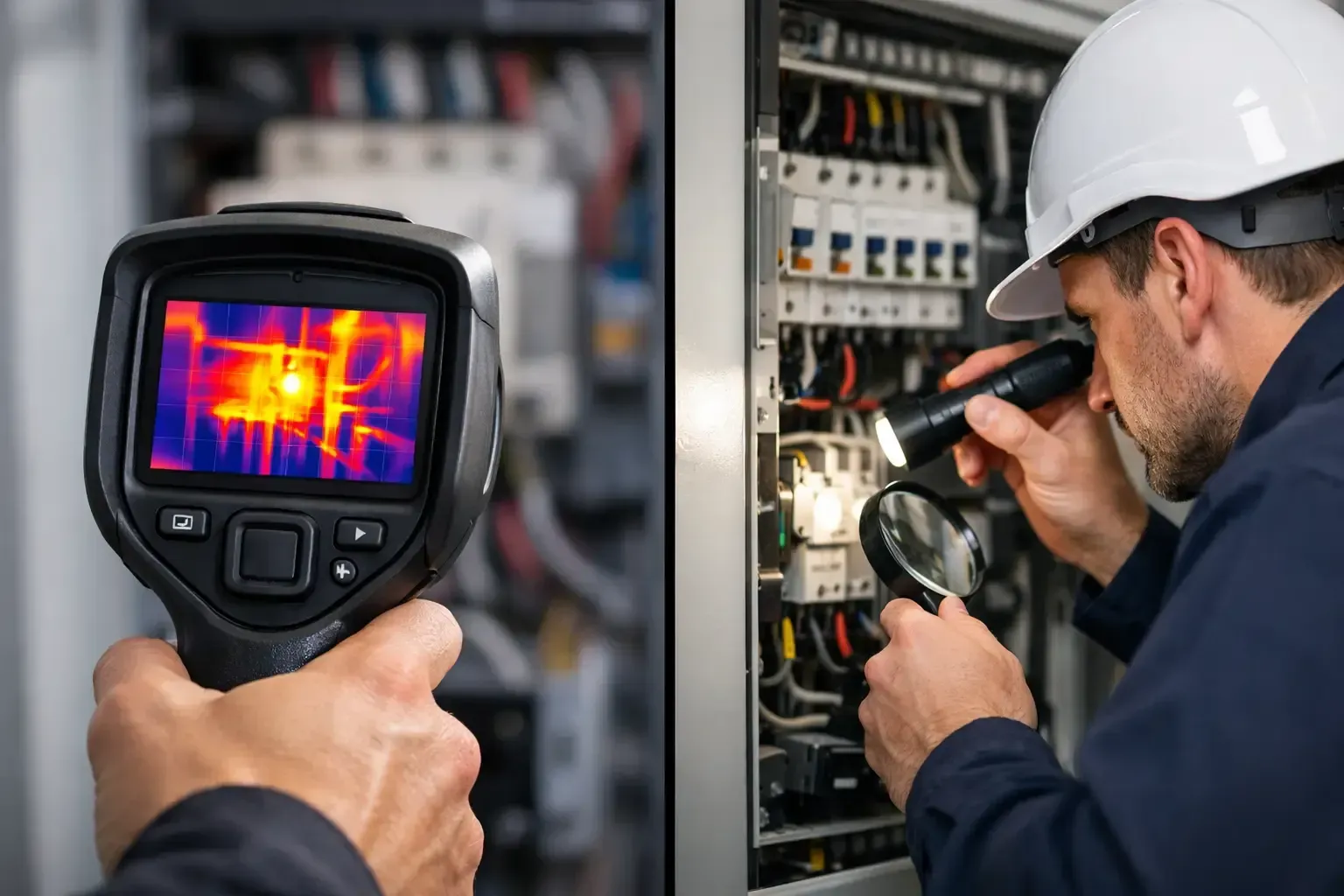
If your goal is to market a property, mapping may be a supporting asset rather than the main one. Listing photos and cinematic video will usually do more for presentation. If your goal is to inspect a roof issue, thermal or close-range inspection services may be the better fit. Orthomosaic mapping is strongest when the question is about layout, site condition, progress, or documentation across an area.
Before booking, it helps to define what you want the map to do. Are you trying to document an existing condition before work begins? Track weekly construction progress? Review drainage and access? Support a property acquisition file? The clearer the objective, the easier it is to plan the flight correctly and deliver data that is actually useful.
A good map should reduce uncertainty, not create more of it. When the flight is planned well and the deliverable matches the job, orthomosaic drone mapping services give owners and project teams a faster way to see the full picture and make better decisions from it. If your site has moving parts, changing conditions, or stakeholders who need clear visual proof, that kind of visibility can save time long before it ever shows up in a report.