Phoenix Drone Pros
Blog
Aerial property photography helps listings stand out, show context, and attract buyers with compliant, high-quality drone imagery and video.

A listing can have a renovated kitchen, strong square footage, and a good address, then still underperform because buyers never grasp the full property from ground level. That is where aerial property photography changes the conversation. A well-planned drone shoot shows the lot, the access, the surrounding amenities, and the overall layout in a way still photos from the driveway simply cannot.
For real estate professionals, developers, property managers, and owners, that matters because decisions get made fast. Buyers scroll quickly. Investors compare multiple sites at once. Tenants want context before they schedule a visit. Strong aerials help people understand what they are looking at and why it deserves attention.
Why aerial property photography works
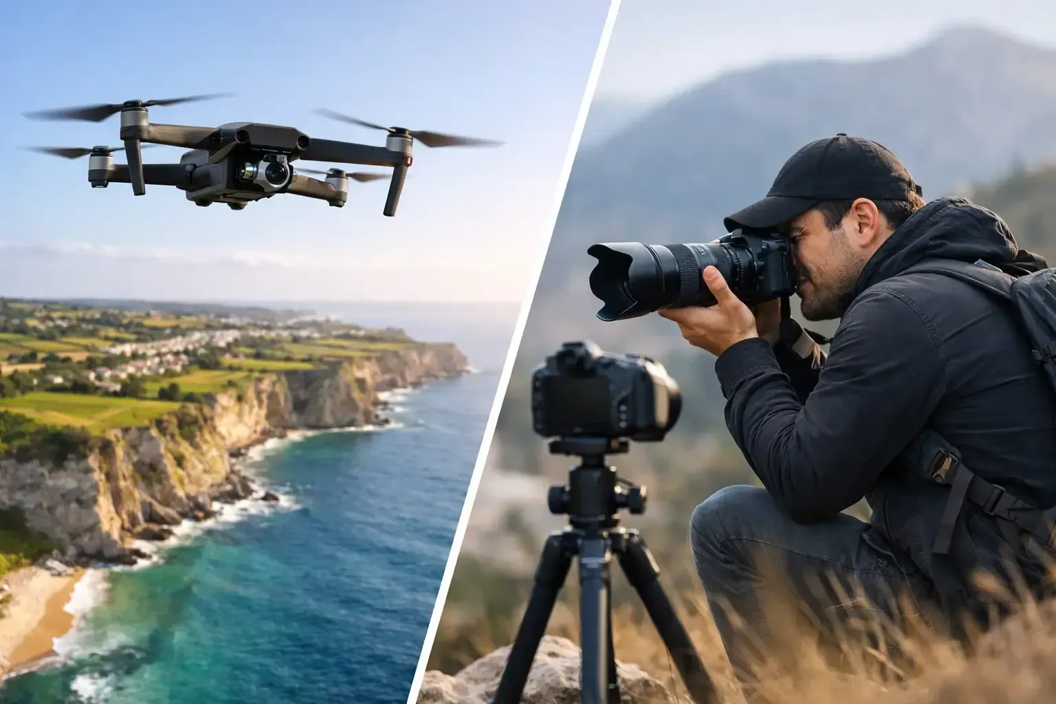
The biggest advantage is perspective. Ground photography is essential for interiors, finishes, and curb appeal, but it has limits. It cannot easily show lot lines, building orientation, adjacent roads, parking capacity, nearby retail, open land, or how a property sits within its neighborhood.
Aerial property photography fills that gap. For residential listings, it can highlight a large backyard, corner lot, cul-de-sac placement, mountain views, pool layout, or proximity to parks and golf courses. For commercial real estate, it can reveal access points, traffic flow, loading areas, surrounding businesses, and the scale of the parcel.
That broader view does more than make images look impressive. It answers practical questions earlier in the buying process. When prospects understand the site faster, the inquiry tends to be more qualified. That can mean fewer wasted showings and stronger interest from serious buyers.
What buyers and stakeholders want to see
Not every drone image adds value. The most effective work is built around what the audience actually needs.
In residential real estate, buyers usually want a clear sense of the home's setting. They want to know whether the backyard backs to a busy road, how much privacy the lot offers, and whether the outdoor features are worth the asking price. A high, wide establishing shot can answer those questions in seconds.
In commercial marketing, the priorities shift. Brokers and investors often care more about visibility, access, parking, neighboring tenants, arterial roads, development potential, and building footprint. Aerials become less about visual flair and more about site intelligence.
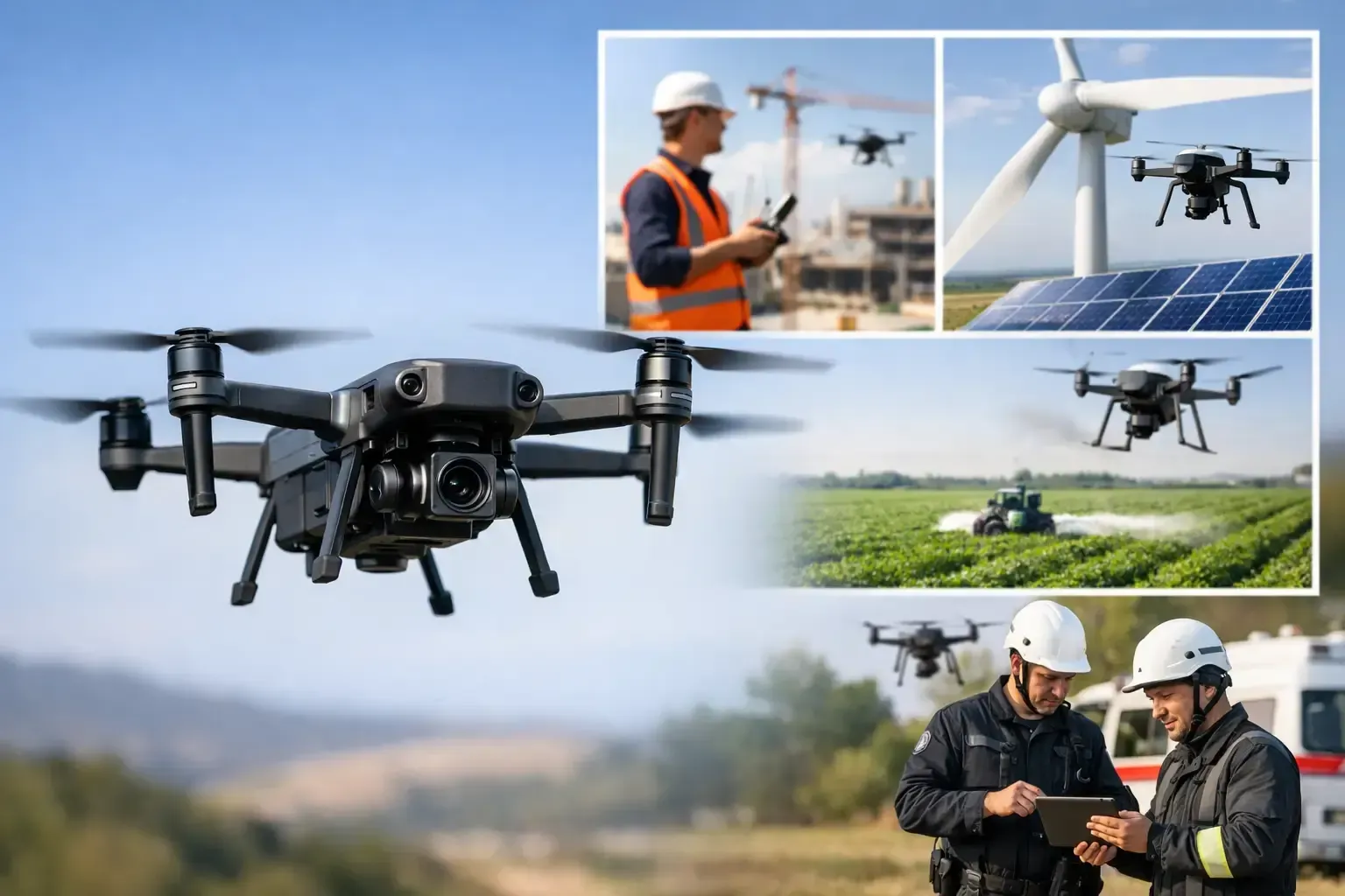
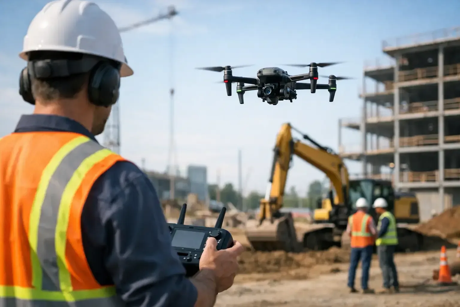
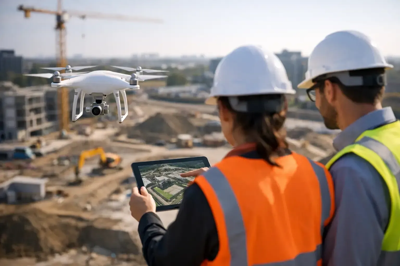
For construction and development teams, the value is different again. Drone photography can document progress, verify site conditions, and provide a clear visual record for owners, lenders, and stakeholders. In those cases, consistency matters as much as image quality. The shots need to be repeatable, accurate, and professionally captured over time.
When aerial property photography makes the biggest impact
Some properties benefit from drone coverage more than others. Large lots are an obvious fit, but size is not the only factor.
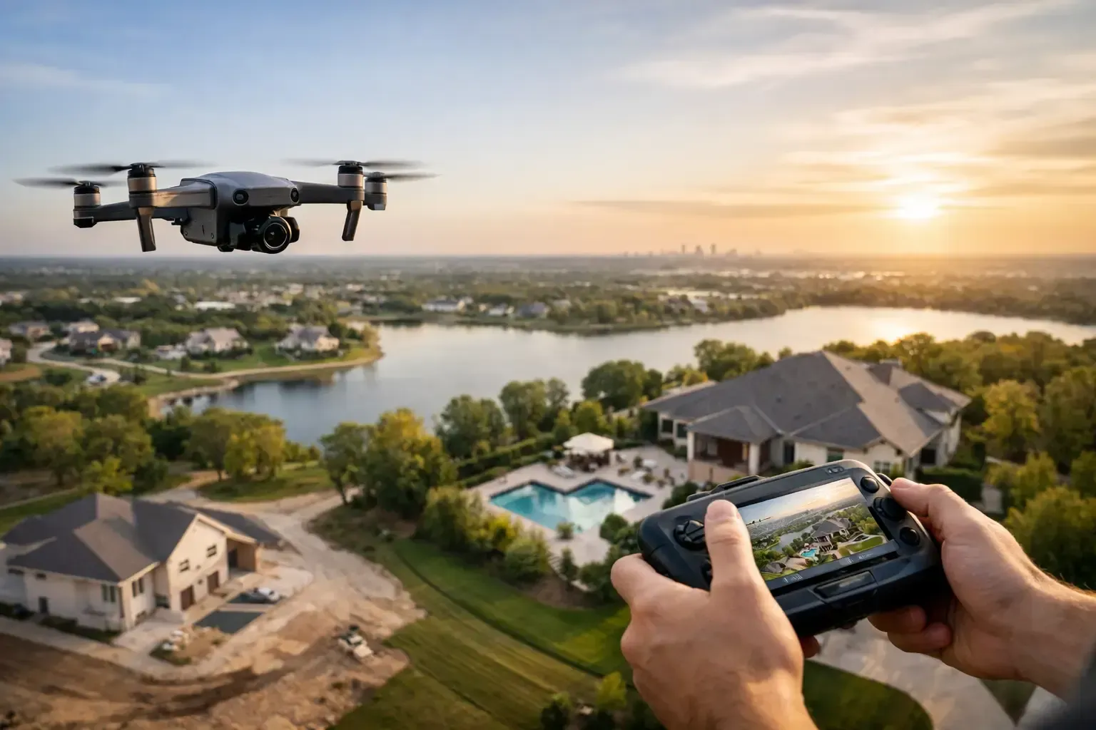
Homes with pools, detached garages, guest houses, acreage, equestrian facilities, view corridors, or premium outdoor living spaces tend to gain immediate value from aerial imagery. The same is true for properties near water, desert preserves, golf courses, or major community amenities.
Commercial sites also benefit when the surrounding context influences value. Retail pads, industrial sites, office campuses, multifamily developments, storage facilities, and land listings often need overhead visuals to communicate their advantages clearly.
There are also cases where aerial photography is useful but should be used selectively. A tightly packed urban infill property may not need ten high-altitude images. One or two strategic aerials might be enough, especially if the real selling points are interior upgrades or street-level design. Good coverage is not about adding drone shots to every job. It is about choosing the right angles for the property.
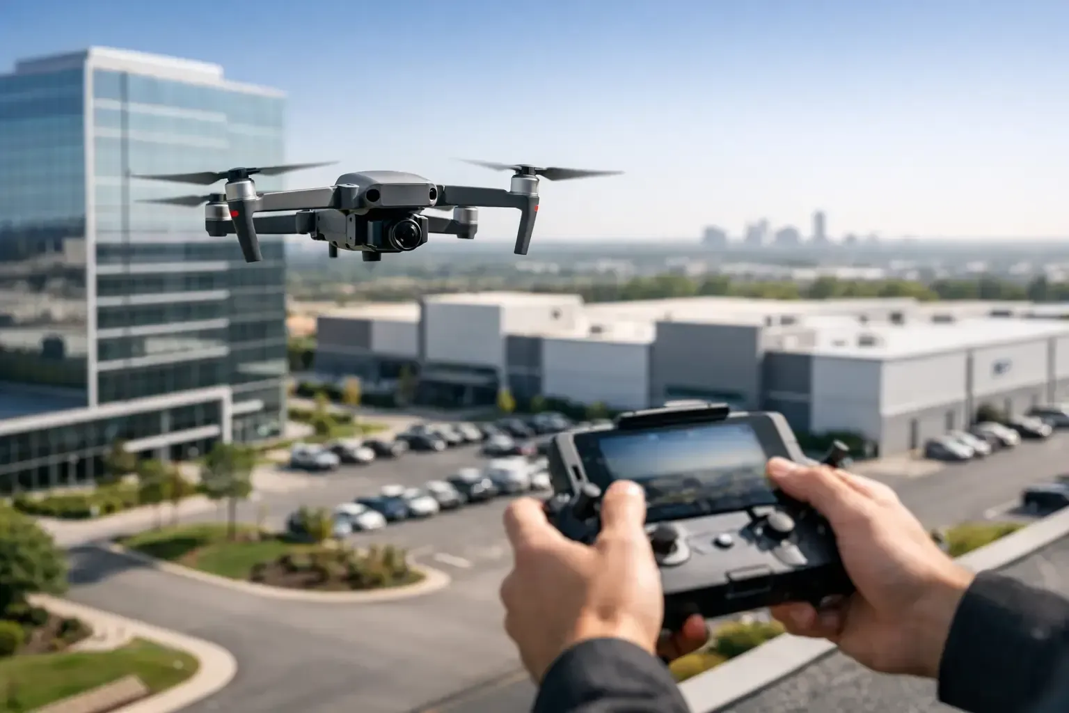
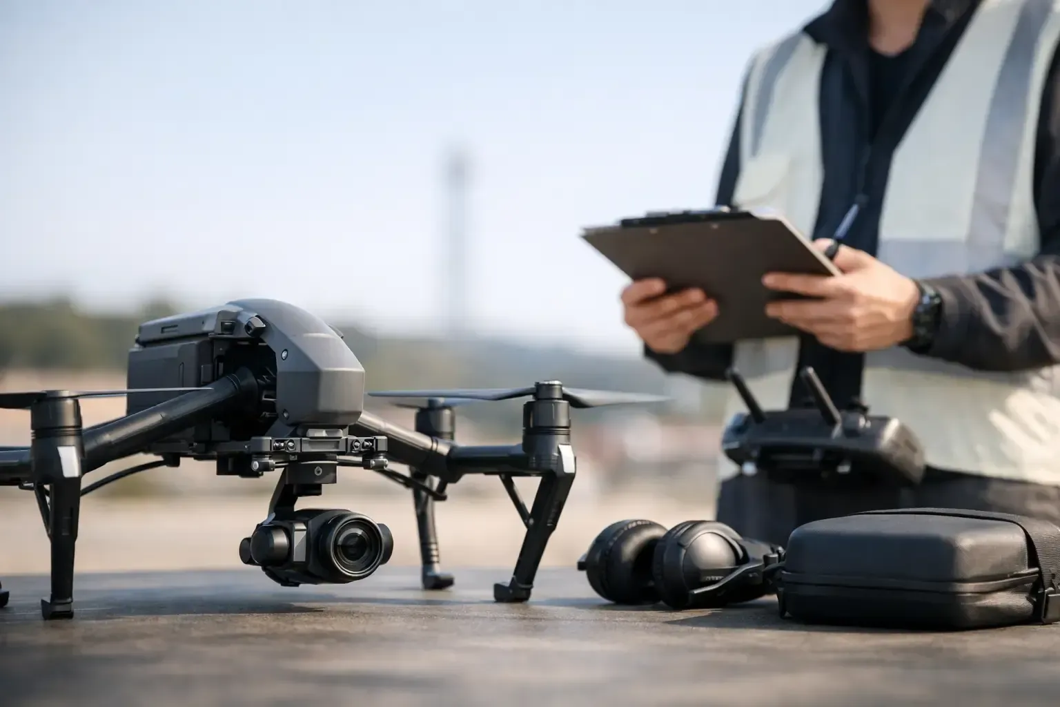
Good drone media is not just about flying a drone
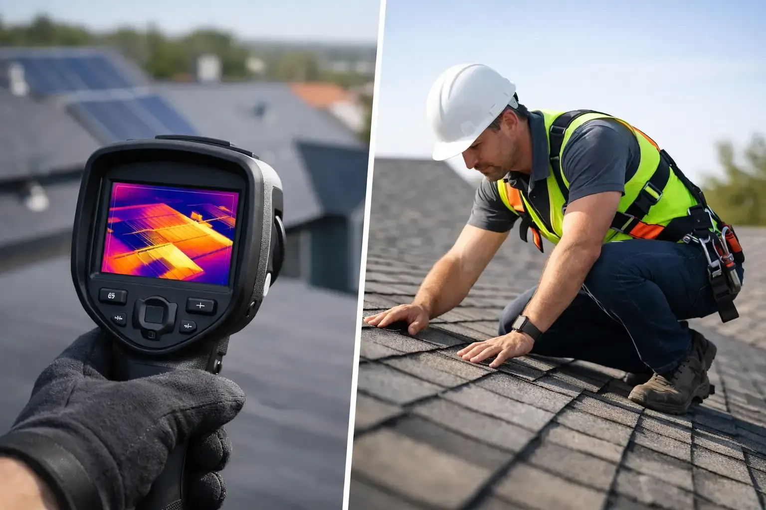
This is where the difference between a professional operator and a hobbyist becomes obvious. Effective aerial property photography starts before takeoff. Airspace has to be checked. Safety conditions have to be reviewed. The shoot plan has to match the property type, the lighting, and the purpose of the media.
In areas like Phoenix and other active metro markets, controlled airspace can complicate what looks like a simple job. Nearby airports, helicopter traffic, event restrictions, and local operating conditions can all affect what is possible and when. If the operator is not FAA-certified, insured, and experienced in compliant flight operations, the risk is not theoretical. It affects scheduling, legal exposure, and whether the project gets completed correctly.
Professional execution also shows up in the images themselves. The best drone photography uses clean composition, stable framing, thoughtful altitude selection, and color consistency with the rest of the listing media. It should feel like part of a coordinated marketing package, not an add-on.
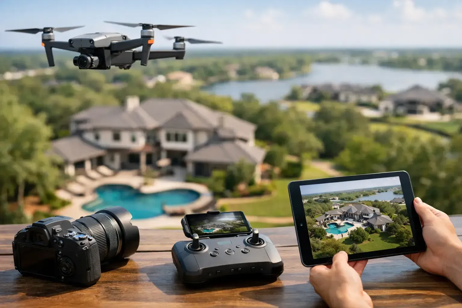
Aerial property photography for residential listings
Residential agents often use drone media to win listings as much as to market them. Sellers notice when an agent presents a stronger visual strategy. They understand that premium media can position the home more effectively, especially in competitive price bands.
The key is restraint and relevance. Aerial shots should support the story of the property. If the home sits on an oversized lot, show the lot. If the value is in the backyard buildout, show the relationship between the house, pool, patio, and landscaping. If the home has a mountain backdrop, capture it at the right time of day so the view reads clearly.
Video can also play a useful role, but only when the property supports it. A short aerial sequence that shows approach, elevation, and outdoor space can add polish to a residential listing. A long, generic flyover usually does not. Buyers want clarity, not filler.
Aerial property photography for commercial real estate
Commercial buyers and tenants are making a different kind of decision. They want confidence in the site. Drone imagery helps establish that confidence by showing physical layout, surrounding uses, ingress and egress, lot depth, visibility from major roads, and proximity to demand drivers.
This is especially useful for office, retail, industrial, and land marketing. An overhead angle can show how a site functions in real life, which is often more persuasive than a ground photo of the front facade. It can also help asset managers and developers communicate with out-of-town stakeholders who need a fast but accurate understanding of the property.
For these projects, raw creativity matters less than operational discipline. Clean captures, consistent orientation, and a shot list aligned with the deal are what make the media useful.
How to plan a successful aerial shoot
The best results come from clear intent. Before scheduling, it helps to define what the images need to accomplish. Is the goal to market a listing, document a site, support an investor package, or capture progress over time? The answer changes the flight plan.
Lighting is another major factor. Midday can work for some commercial documentation, but softer morning or late afternoon light is often better for marketing images. Wind, glare, seasonal conditions, and local restrictions also matter. A professional provider should be discussing those variables upfront, not improvising on site.
It is also worth deciding whether stills are enough or whether video adds real value. Some projects need a concise set of edited aerial photos. Others benefit from both stills and short-form video. More content is not always better. Useful content is better.
What to look for in an aerial provider
If you are hiring for aerial property photography, ask practical questions. Is the operator FAA-certified? Are they insured for commercial work? Do they have experience in active job sites, controlled airspace, or occupied properties? Can they deliver polished media on schedule?
Those details matter because drone work happens in real operating environments, not ideal conditions. A dependable provider understands safety, compliance, communication, and turnaround. That combination is often what keeps a project moving.
For clients in fast-moving markets, that reliability is as valuable as the footage itself. Phoenix Drone Pros is built around that model - certified operations, insured flights, strong communication, and media that serves a business purpose.
Aerial property photography works best when it helps people see the property the way a decision-maker needs to see it: clearly, quickly, and in context. If the images answer real questions and are captured by a team that treats the work professionally, they do more than look good. They help move the project forward.